UN/LOCODE hub · Portugal
PTSET
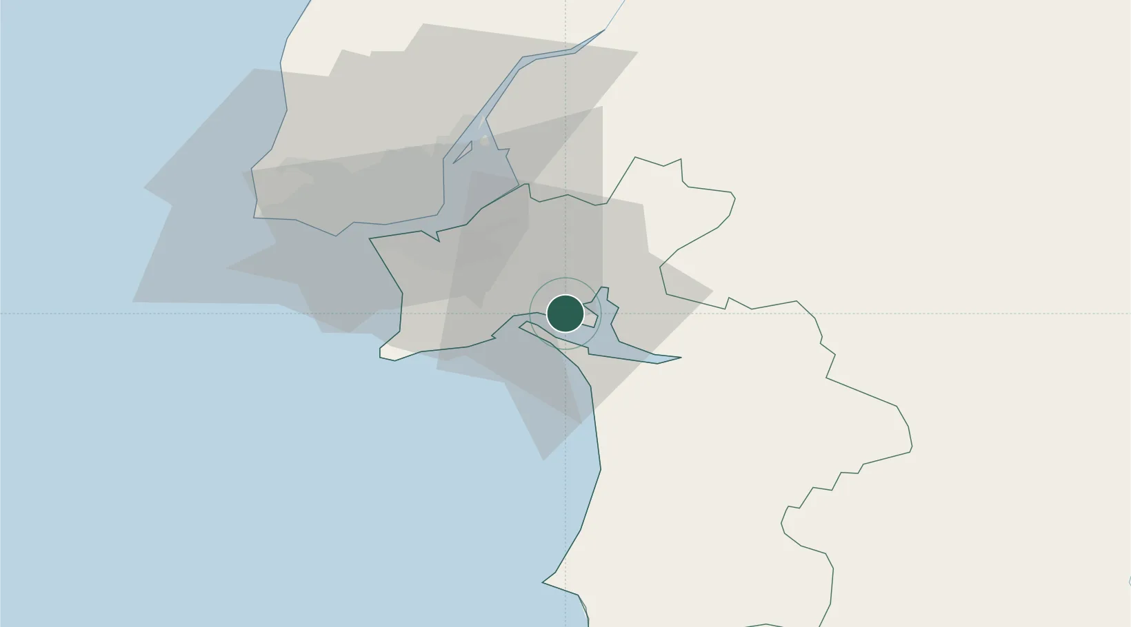
Setúbal
38.5099°, -8.8471°
118,166
Population
3
Transport functions
2
Container terminals
Transport Functions
Port
Rail
Road
Hub Profile
Place type
Regional capital
Region
Setúbal
Population
118,166
Time zone
Europe/Lisbon
Elevation
16 m
Logistics facilities
4
Container terminals
2
Location
Nearby Logistics Neighbours
Cities
- 1Palmela8 km
- 2Quinta do Anjo10 km
- 3Vila Nogueira de Azeitao15 km
- 4Pinhal Novo15 km
- 5Águas de Moura15 km
Ports
- 1Lisboa35 km
- 2Sines62 km
- 3Lagos158 km
- 4Figueira Da Foz182 km
- 5Faro183 km
Airports
- 1Montijo Air Base28 km
- 2Lisbon Humberto Delgado Airport39 km
- 3Alverca Air Base45 km
- 4Cascais Airport50 km
- 5Sintra Air Base56 km
Trade Zones
- 1Puerto de Huelva216 km
- 2VGP Park Santa Maria da Feira270 km
- 3Zona Franca de Sevilla282 km
- 4Zona Livre Tecnológica Masotinhos297 km
- 5Zona Franca de Cádiz319 km
DatabookThe Record of Consolidated Knowledge
Portugal beyond logistics?