Transport Functions
Rail
Road
Hub Profile
Place type
Populated place
Region
Setúbal
Time zone
Europe/Lisbon
Elevation
16 m
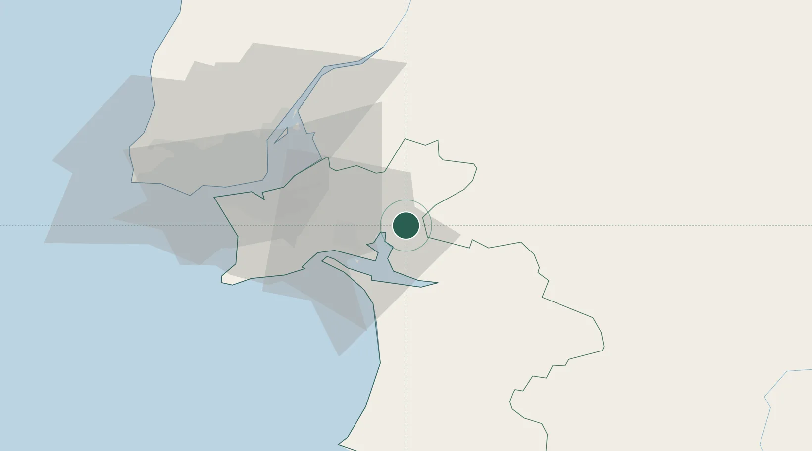
Location
Nearby Logistics Neighbours
Cities
- 1Pegoes Velhos12 km
- 2Setúbal15 km
- 3Palmela18 km
- 4Pinhal Novo20 km
- 5Quinta do Anjo20 km
Ports
- 1Setubal19 km
- 2Lisboa43 km
- 3Sines72 km
- 4Lagos165 km
- 5Figueira Da Foz175 km
Airports
- 1Montijo Air Base32 km
- 2Lisbon Humberto Delgado Airport44 km
- 3Alverca Air Base44 km
- 4Cascais Airport59 km
- 5Sintra Air Base62 km
Trade Zones
- 1Puerto de Huelva212 km
- 2VGP Park Santa Maria da Feira261 km
- 3Zona Franca de Sevilla274 km
- 4Zona Livre Tecnológica Masotinhos288 km
- 5Zona Franca de Cádiz316 km
DatabookThe Record of Consolidated Knowledge
Portugal beyond logistics?