UN/LOCODE hub · Portugal
PTTZO

Vila Nogueira de Azeitao

38.5167°, -9.0167°
1
Transport functions

Transport Functions

Multimodal
UN/LOCODE

Hub Profile

Region
15
GeoNames

Location

Location of PTTZO
Natural Earth 10m (public domain) · 15 · PTTZO · 38.52, -9.02GoogleOSMYandex

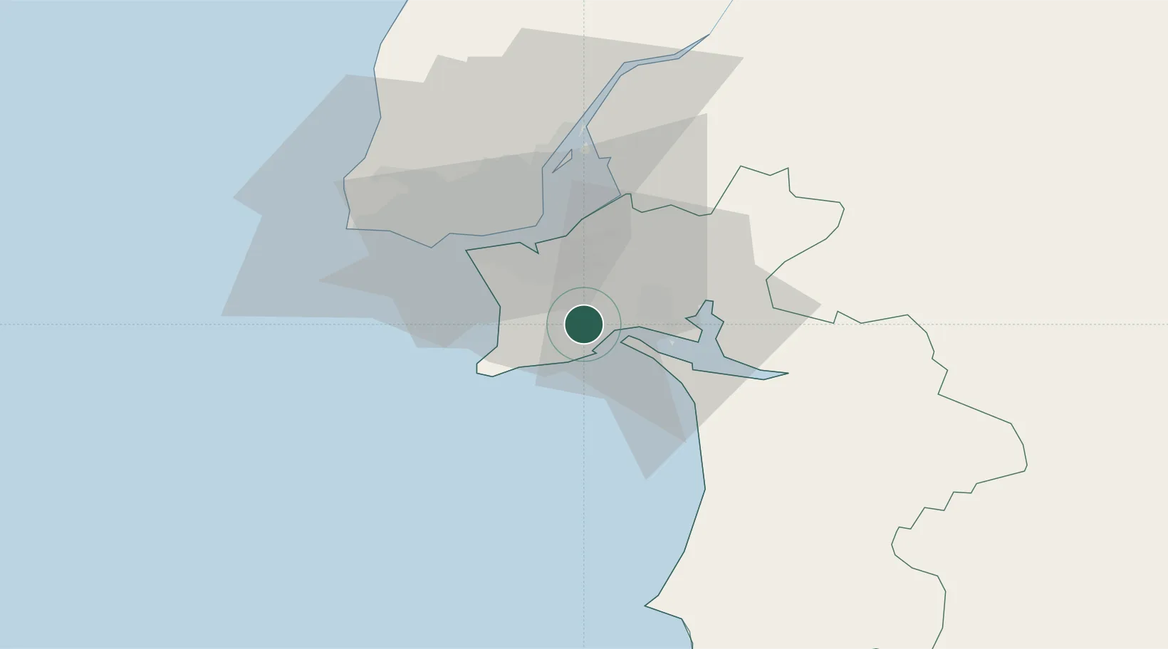
Nearby Logistics Neighbours

Cities
  1. 1Carrasqueira8 km
  2. 2Quinta do Anjo9 km
  3. 3Coina10 km
  4. 4Casal do Marco11 km
  5. 5Palhais12 km
Nearest neighbours — logibook spatial index (haversine) over the source coordinates
Ports
  1. 1Setubal10 km
  2. 2Lisboa24 km
  3. 3Sines64 km
  4. 4Lagos161 km
  5. 5Figueira Da Foz182 km
Nearest neighbours — logibook spatial index (haversine) over the source coordinates
Airports
  1. 1Montijo Air Base22 km
  2. 2Lisbon Humberto Delgado Airport31 km
  3. 3Cascais Airport37 km
  4. 4Alverca Air Base41 km
  5. 5Sintra Air Base45 km
Nearest neighbours — logibook spatial index (haversine) over the source coordinates
Trade Zones
  1. 1Puerto de Huelva228 km
  2. 2VGP Park Santa Maria da Feira271 km
  3. 3Zona Franca de Sevilla295 km
  4. 4Zona Livre Tecnológica Masotinhos297 km
  5. 5Zona Franca de Cádiz330 km
Nearest neighbours — logibook spatial index (haversine) over the source coordinates
DatabookThe Record of Consolidated Knowledge
Portugal beyond logistics?
Browse databook

All Sources

LocationsUN/LOCODE
UN/LOCODE — free
Portsthe NGA World Port Index
Public domain (US gov)
AirportsOurAirports
Public domain
Trade Zonesthe World Bank SEZ database
CC BY 4.0
Trade ZonesOpen Zone Map
CC BY
← Portugal locations