Transport Functions
Rail
Road
Hub Profile
Place type
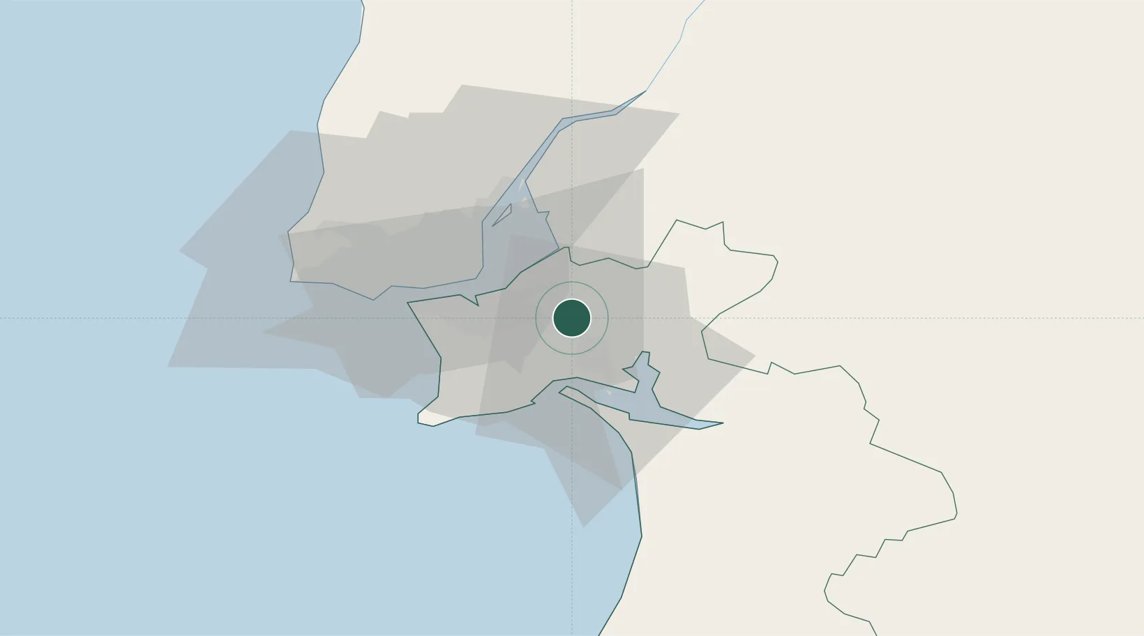
Populated place
Region
Setúbal
Population
23,510
Time zone
Europe/Lisbon
Elevation
41 m
Location
Nearby Logistics Neighbours
Cities
- 1Quinta do Anjo8 km
- 2Palmela8 km
- 3Montijo9 km
- 4Palhais12 km
- 5Coina12 km
Ports
- 1Setubal13 km
- 2Lisboa23 km
- 3Sines76 km
- 4Figueira Da Foz169 km
- 5Lagos173 km
Airports
- 1Montijo Air Base13 km
- 2Lisbon Humberto Delgado Airport25 km
- 3Alverca Air Base30 km
- 4Cascais Airport39 km
- 5Sintra Air Base43 km
Trade Zones
- 1Puerto de Huelva230 km
- 2VGP Park Santa Maria da Feira257 km
- 3Zona Livre Tecnológica Masotinhos283 km
- 4Zona Franca de Sevilla294 km
- 5Zona Franca de Cádiz333 km
DatabookThe Record of Consolidated Knowledge
Portugal beyond logistics?