UN/LOCODE hub · Portugal
PTQDA
Quinta do Anjo
38.5667°, -8.9333°
9,124
Population
2
Transport functions
Transport Functions
Rail
Road
Hub Profile
Place type
Populated place
Region
Setúbal
Population
9,124
Time zone
Europe/Lisbon
Elevation
94 m
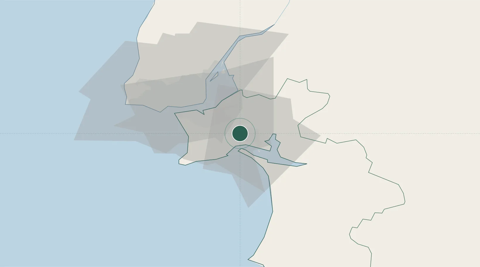
Location
Nearby Logistics Neighbours
Cities
- 1Palmela3 km
- 2Pinhal Novo8 km
- 3Vila Nogueira de Azeitao9 km
- 4Setúbal10 km
- 5Coina11 km
Ports
- 1Setubal6 km
- 2Lisboa25 km
- 3Sines69 km
- 4Lagos165 km
- 5Figueira Da Foz176 km
Airports
- 1Montijo Air Base18 km
- 2Lisbon Humberto Delgado Airport30 km
- 3Alverca Air Base36 km
- 4Cascais Airport41 km
- 5Sintra Air Base46 km
Trade Zones
- 1Puerto de Huelva226 km
- 2VGP Park Santa Maria da Feira265 km
- 3Zona Livre Tecnológica Masotinhos291 km
- 4Zona Franca de Sevilla291 km
- 5Zona Franca de Cádiz329 km
DatabookThe Record of Consolidated Knowledge
Portugal beyond logistics?