Transport Functions
Rail
Road
Hub Profile
Place type
Provincial seat
Region
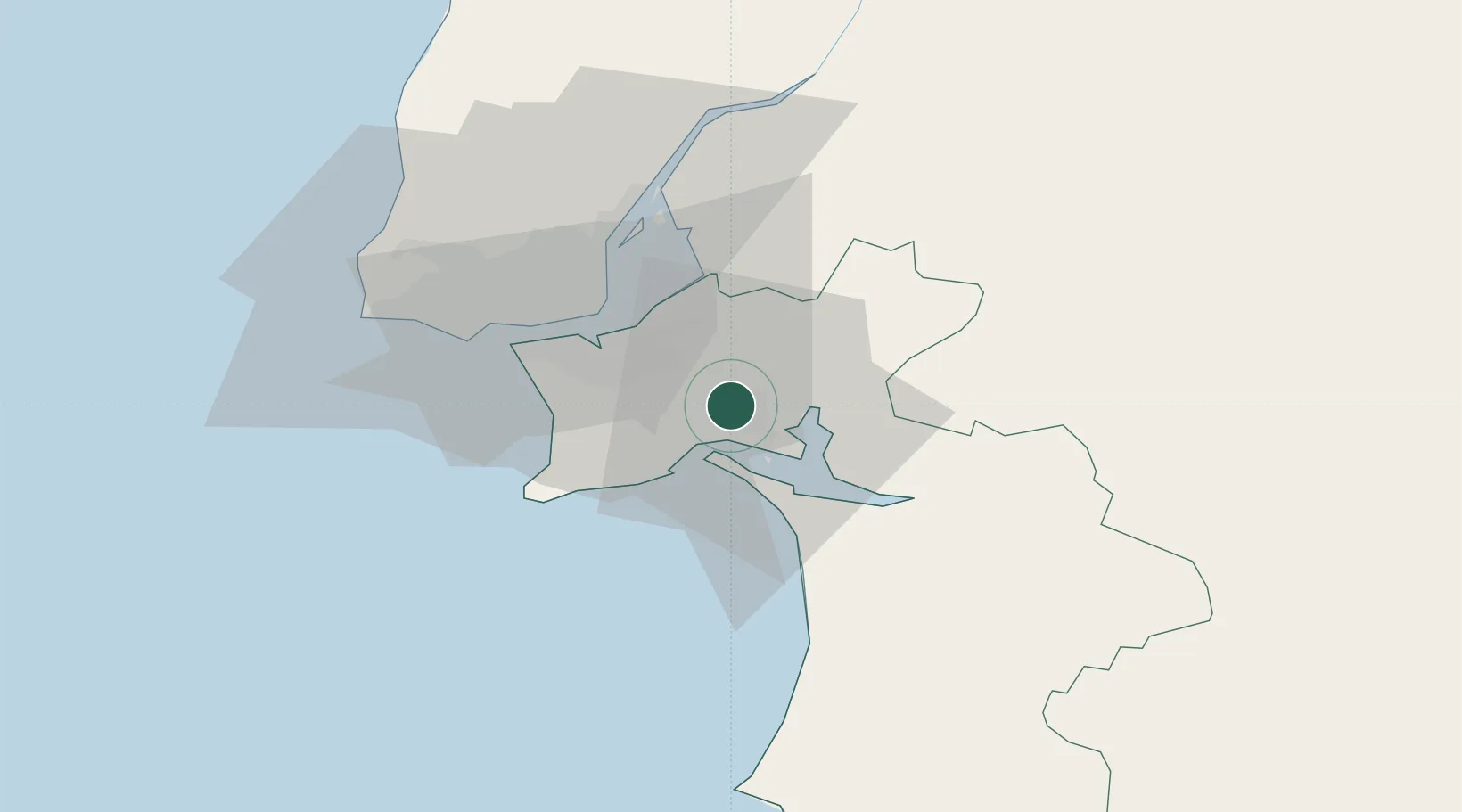
Setúbal
Population
16,934
Time zone
Europe/Lisbon
Elevation
190 m
Location
Nearby Logistics Neighbours
Cities
- 1Quinta do Anjo3 km
- 2Pinhal Novo8 km
- 3Setúbal8 km
- 4Vila Nogueira de Azeitao12 km
- 5Coina14 km
Ports
- 1Setubal6 km
- 2Lisboa28 km
- 3Sines69 km
- 4Lagos165 km
- 5Figueira Da Foz176 km
Airports
- 1Montijo Air Base20 km
- 2Lisbon Humberto Delgado Airport31 km
- 3Alverca Air Base37 km
- 4Cascais Airport43 km
- 5Sintra Air Base48 km
Trade Zones
- 1Puerto de Huelva224 km
- 2VGP Park Santa Maria da Feira265 km
- 3Zona Franca de Sevilla289 km
- 4Zona Livre Tecnológica Masotinhos291 km
- 5Zona Franca de Cádiz327 km
DatabookThe Record of Consolidated Knowledge
Portugal beyond logistics?