Transport Functions
Multimodal
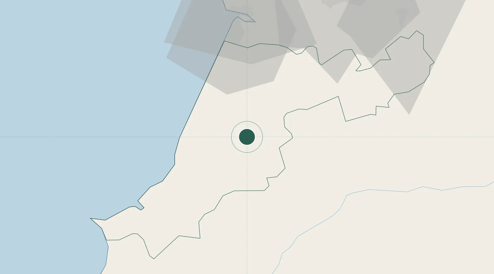
Hub Profile
Place type
Populated place
Region
Leiria
Population
602
Time zone
Europe/Lisbon
Elevation
59 m
Location
Nearby Logistics Neighbours
Cities
- 1Batalha4 km
- 2Maceira6 km
- 3Caranguejeira10 km
- 4Marinha Grande12 km
- 5Martinganca13 km
Ports
- 1Figueira Da Foz52 km
- 2Aveiro108 km
- 3Lisboa113 km
- 4Setubal130 km
- 5Oporto164 km
Airports
- 1Monte Real Air Base17 km
- 2Tancos Airbase45 km
- 3Aerodromo Municipal de Coimbra61 km
- 4Aeródromo Municipal de Ponte de Sor84 km
- 5Alverca Air Base91 km
Trade Zones
- 1VGP Park Santa Maria da Feira140 km
- 2Zona Livre Tecnológica Masotinhos166 km
- 3Zona Franca de Vigo283 km
- 4Puerto de Huelva314 km
- 5Zona Franca de Sevilla358 km
DatabookThe Record of Consolidated Knowledge
Portugal beyond logistics?