UN/LOCODE hub · Portugal
PTMGA

Martinganca

39.6833°, -8.9667°
1
Transport functions

Transport Functions

Multimodal
UN/LOCODE

Hub Profile

Place type
Populated place
GeoNames
Region
Leiria
GeoNames
Time zone
Europe/Lisbon
GeoNames
Elevation
139 m
GeoNames

Location

Location of PTMGA
Natural Earth 10m (public domain) · Leiria · PTMGA · 39.68, -8.97GoogleOSMYandex

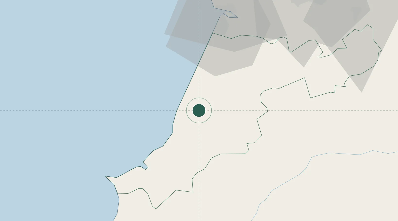
Nearby Logistics Neighbours

Cities
  1. 1Pataias3 km
  2. 2Maceira7 km
  3. 3Marinha Grande8 km
  4. 4Batalha12 km
  5. 5Nazaré13 km
Nearest neighbours — logibook spatial index (haversine) over the source coordinates
Ports
  1. 1Figueira Da Foz53 km
  2. 2Lisboa111 km
  3. 3Aveiro111 km
  4. 4Setubal130 km
  5. 5Oporto165 km
Nearest neighbours — logibook spatial index (haversine) over the source coordinates
Airports
  1. 1Monte Real Air Base18 km
  2. 2Tancos Airbase57 km
  3. 3Aerodromo Municipal de Coimbra68 km
  4. 4Alverca Air Base89 km
  5. 5Aeródromo Municipal de Ponte de Sor94 km
Nearest neighbours — logibook spatial index (haversine) over the source coordinates
Trade Zones
  1. 1VGP Park Santa Maria da Feira143 km
  2. 2Zona Livre Tecnológica Masotinhos168 km
  3. 3Zona Franca de Vigo284 km
  4. 4Puerto de Huelva321 km
  5. 5Zona Franca de Sevilla367 km
Nearest neighbours — logibook spatial index (haversine) over the source coordinates
DatabookThe Record of Consolidated Knowledge
Portugal beyond logistics?
Browse databook

All Sources

LocationsUN/LOCODE
UN/LOCODE — free
Portsthe NGA World Port Index
Public domain (US gov)
AirportsOurAirports
Public domain
Trade Zonesthe World Bank SEZ database
CC BY 4.0
Trade ZonesOpen Zone Map
CC BY
← Portugal locations