Transport Functions
Port
Multimodal
Hub Profile
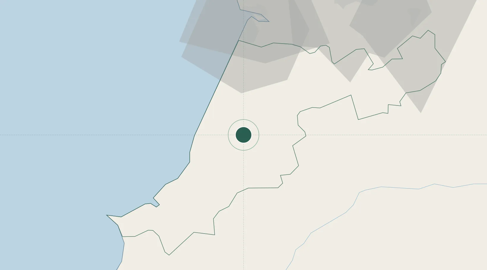
Place type
Populated place
Region
Leiria
Population
9,831
Time zone
Europe/Lisbon
Elevation
164 m
Location
Nearby Logistics Neighbours
Cities
- 1Batalha6 km
- 2Golpilheira6 km
- 3Martinganca7 km
- 4Marinha Grande9 km
- 5Pataias10 km
Ports
- 1Figueira Da Foz52 km
- 2Aveiro109 km
- 3Lisboa112 km
- 4Setubal130 km
- 5Oporto164 km
Airports
- 1Monte Real Air Base16 km
- 2Tancos Airbase50 km
- 3Aerodromo Municipal de Coimbra64 km
- 4Aeródromo Municipal de Ponte de Sor88 km
- 5Alverca Air Base90 km
Trade Zones
- 1VGP Park Santa Maria da Feira141 km
- 2Zona Livre Tecnológica Masotinhos167 km
- 3Zona Franca de Vigo283 km
- 4Puerto de Huelva317 km
- 5Zona Franca de Sevilla362 km
DatabookThe Record of Consolidated Knowledge
Portugal beyond logistics?