Transport Functions
Rail
Road
Hub Profile
Place type
Provincial seat
Region
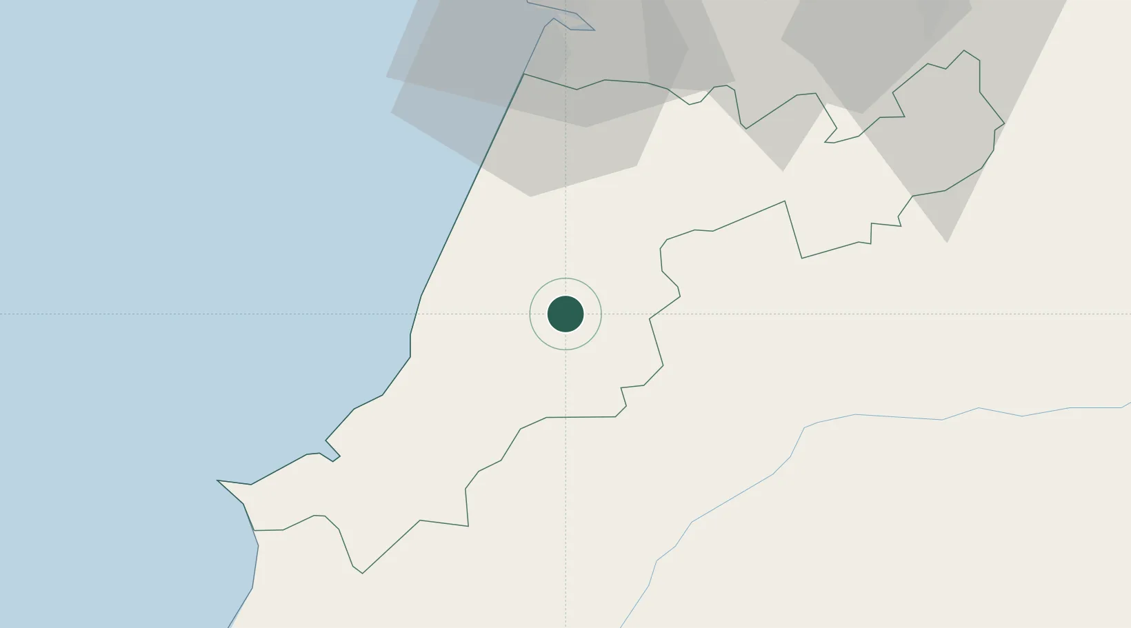
Leiria
Population
7,910
Time zone
Europe/Lisbon
Elevation
71 m
Location
Nearby Logistics Neighbours
Cities
- 1Golpilheira4 km
- 2Maceira6 km
- 3Martinganca12 km
- 4Caranguejeira14 km
- 5Marinha Grande14 km
Ports
- 1Figueira Da Foz56 km
- 2Lisboa110 km
- 3Aveiro112 km
- 4Setubal126 km
- 5Oporto167 km
Airports
- 1Monte Real Air Base20 km
- 2Tancos Airbase45 km
- 3Aerodromo Municipal de Coimbra65 km
- 4Aeródromo Municipal de Ponte de Sor83 km
- 5Alverca Air Base87 km
Trade Zones
- 1VGP Park Santa Maria da Feira144 km
- 2Zona Livre Tecnológica Masotinhos170 km
- 3Zona Franca de Vigo287 km
- 4Puerto de Huelva312 km
- 5Zona Franca de Sevilla356 km
DatabookThe Record of Consolidated Knowledge
Portugal beyond logistics?