UN/LOCODE hub · Portugal
PTMGR
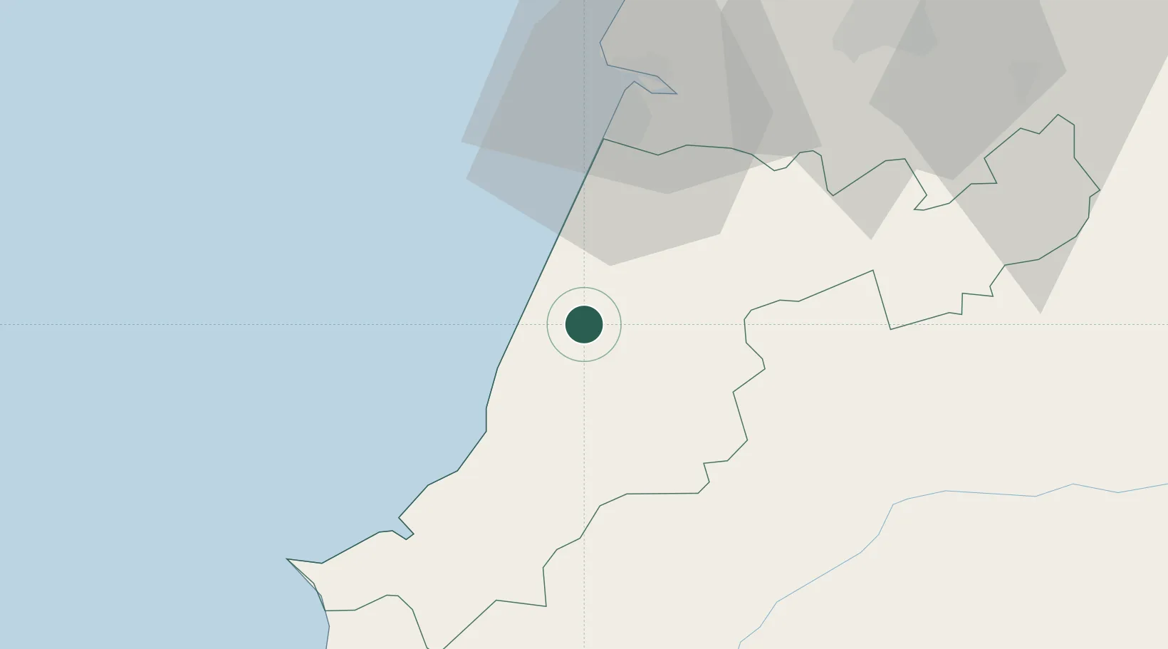
Marinha Grande
39.7500°, -8.9333°
28,916
Population
2
Transport functions
Transport Functions
Rail
Road
Hub Profile
Place type
Provincial seat
Region
Leiria
Population
28,916
Time zone
Europe/Lisbon
Elevation
91 m
Location
Nearby Logistics Neighbours
Cities
- 1Martinganca8 km
- 2Maceira9 km
- 3Pataias11 km
- 4Golpilheira12 km
- 5Batalha14 km
Ports
- 1Figueira Da Foz45 km
- 2Aveiro103 km
- 3Lisboa119 km
- 4Setubal137 km
- 5Oporto157 km
Airports
- 1Monte Real Air Base10 km
- 2Tancos Airbase58 km
- 3Aerodromo Municipal de Coimbra60 km
- 4Aeródromo Municipal de Ponte de Sor96 km
- 5Alverca Air Base97 km
Trade Zones
- 1VGP Park Santa Maria da Feira135 km
- 2Zona Livre Tecnológica Masotinhos160 km
- 3Zona Franca de Vigo276 km
- 4Puerto de Huelva326 km
- 5Zona Franca de Sevilla370 km
DatabookThe Record of Consolidated Knowledge
Portugal beyond logistics?