Transport Functions
Multimodal
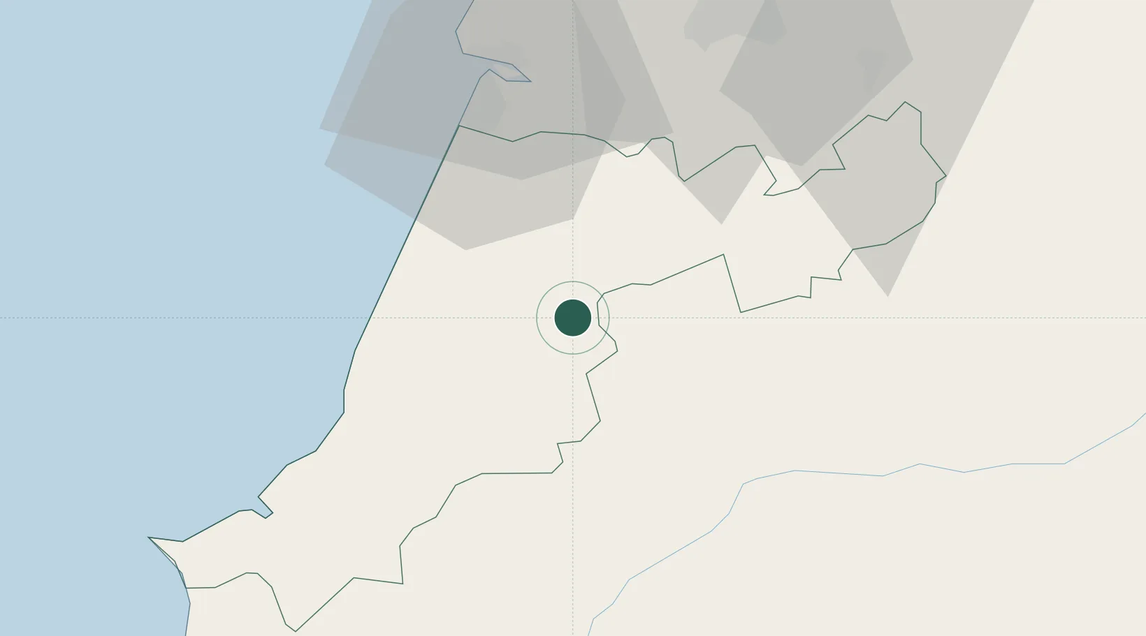
Hub Profile
Place type
Populated place
Region
Leiria
Population
5,248
Time zone
Europe/Lisbon
Elevation
129 m
Location
Nearby Logistics Neighbours
Cities
- 1Golpilheira10 km
- 2Pinhel13 km
- 3Albergaria dos Doze13 km
- 4Batalha14 km
- 5Fátima14 km
Ports
- 1Figueira Da Foz48 km
- 2Aveiro102 km
- 3Lisboa121 km
- 4Setubal136 km
- 5Oporto158 km
Airports
- 1Monte Real Air Base18 km
- 2Tancos Airbase42 km
- 3Aerodromo Municipal de Coimbra52 km
- 4Aeródromo Municipal de Ponte de Sor81 km
- 5Alverca Air Base98 km
Trade Zones
- 1VGP Park Santa Maria da Feira134 km
- 2Zona Livre Tecnológica Masotinhos160 km
- 3Zona Franca de Vigo278 km
- 4Puerto de Huelva315 km
- 5Zona Franca de Sevilla356 km
DatabookThe Record of Consolidated Knowledge
Portugal beyond logistics?