Transport Functions
Rail
Road
Hub Profile
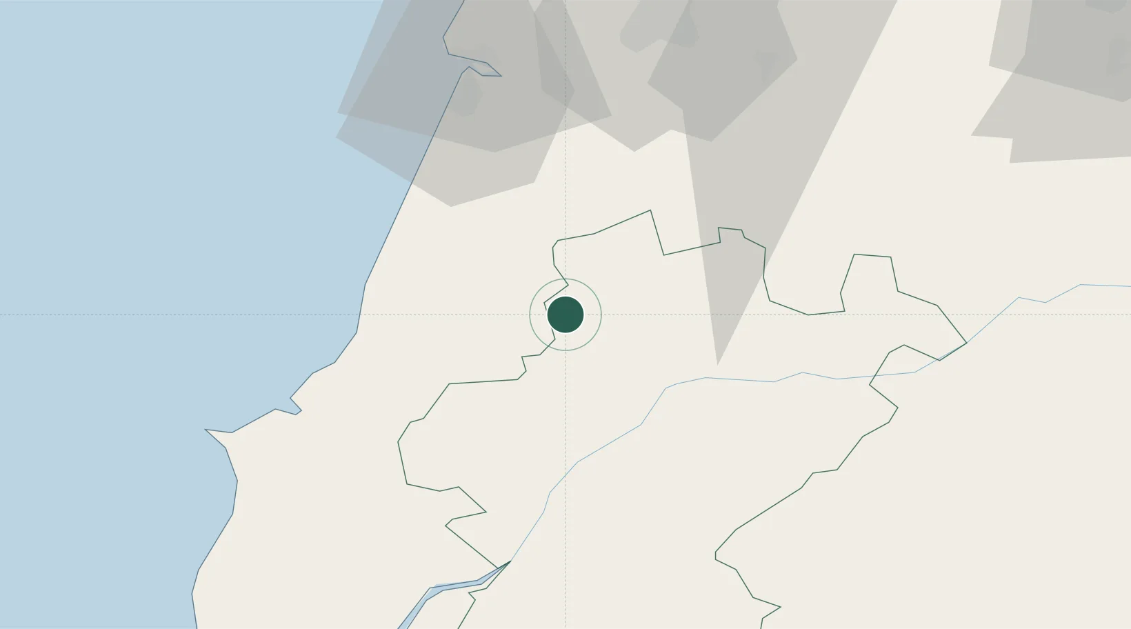
Place type
Populated place
Region
Santarém
Population
11,798
Time zone
Europe/Lisbon
Elevation
358 m
Location
Nearby Logistics Neighbours
Cities
- 1Pinhel5 km
- 2Caxarias14 km
- 3Caranguejeira14 km
- 4Golpilheira16 km
- 5Batalha16 km
Ports
- 1Figueira Da Foz62 km
- 2Lisboa111 km
- 3Aveiro115 km
- 4Setubal124 km
- 5Oporto171 km
Airports
- 1Tancos Airbase29 km
- 2Monte Real Air Base31 km
- 3Aerodromo Municipal de Coimbra62 km
- 4Aeródromo Municipal de Ponte de Sor68 km
- 5Alverca Air Base88 km
Trade Zones
- 1VGP Park Santa Maria da Feira146 km
- 2Zona Livre Tecnológica Masotinhos173 km
- 3Zona Franca de Vigo291 km
- 4Puerto de Huelva301 km
- 5Zona Franca de Sevilla343 km
DatabookThe Record of Consolidated Knowledge
Portugal beyond logistics?