UN/LOCODE hub · Portugal
PTPTC

Caxarias

39.7000°, -8.5333°
225
Population
2
Transport functions

Transport Functions

Road
Multimodal
UN/LOCODE

Hub Profile

Place type
Populated place
GeoNames
Region
Santarém
GeoNames
Population
225
GeoNames
Time zone
Europe/Lisbon
GeoNames
Elevation
140 m
GeoNames

Location

Location of PTPTC
Natural Earth 10m (public domain) · Santarém · PTPTC · 39.70, -8.53GoogleOSMYandex

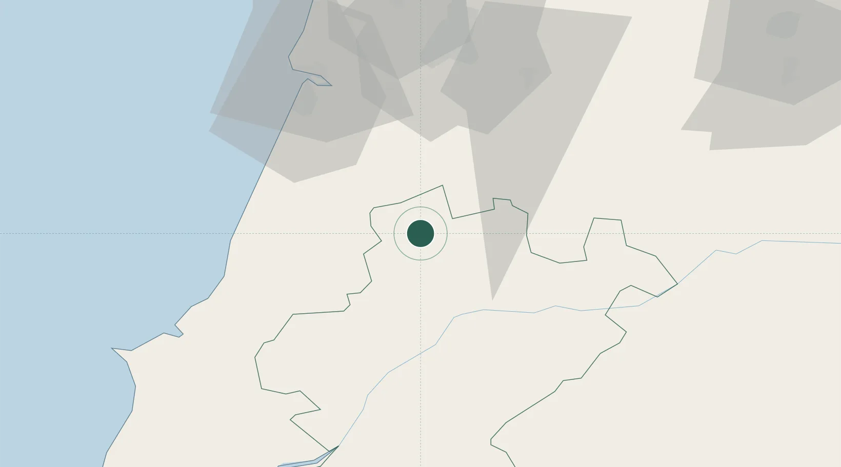
Nearby Logistics Neighbours

Cities
  1. 1Pinhel9 km
  2. 2Albergaria dos Doze10 km
  3. 3Fátima14 km
  4. 4Tomar15 km
  5. 5Caranguejeira16 km
Nearest neighbours — logibook spatial index (haversine) over the source coordinates
Ports
  1. 1Figueira Da Foz57 km
  2. 2Aveiro106 km
  3. 3Lisboa124 km
  4. 4Setubal135 km
  5. 5Oporto162 km
Nearest neighbours — logibook spatial index (haversine) over the source coordinates
Airports
  1. 1Tancos Airbase29 km
  2. 2Monte Real Air Base34 km
  3. 3Aerodromo Municipal de Coimbra51 km
  4. 4Aeródromo Municipal de Ponte de Sor68 km
  5. 5Aerodromo de Castelo Branco95 km
Nearest neighbours — logibook spatial index (haversine) over the source coordinates
Trade Zones
  1. 1VGP Park Santa Maria da Feira137 km
  2. 2Zona Livre Tecnológica Masotinhos165 km
  3. 3Zona Franca de Vigo282 km
  4. 4Puerto de Huelva304 km
  5. 5Zona Franca de Sevilla343 km
Nearest neighbours — logibook spatial index (haversine) over the source coordinates
DatabookThe Record of Consolidated Knowledge
Portugal beyond logistics?
Browse databook

All Sources

LocationsUN/LOCODE
UN/LOCODE — free
LocationsGeoNames
CC BY 4.0
Portsthe NGA World Port Index
Public domain (US gov)
AirportsOurAirports
Public domain
Trade Zonesthe World Bank SEZ database
CC BY 4.0
Trade ZonesOpen Zone Map
CC BY
← Portugal locations