Transport Functions
Multimodal
Hub Profile
Place type
Populated place
Region
Santarém
Population
128
Time zone
Europe/Lisbon
Elevation
187 m
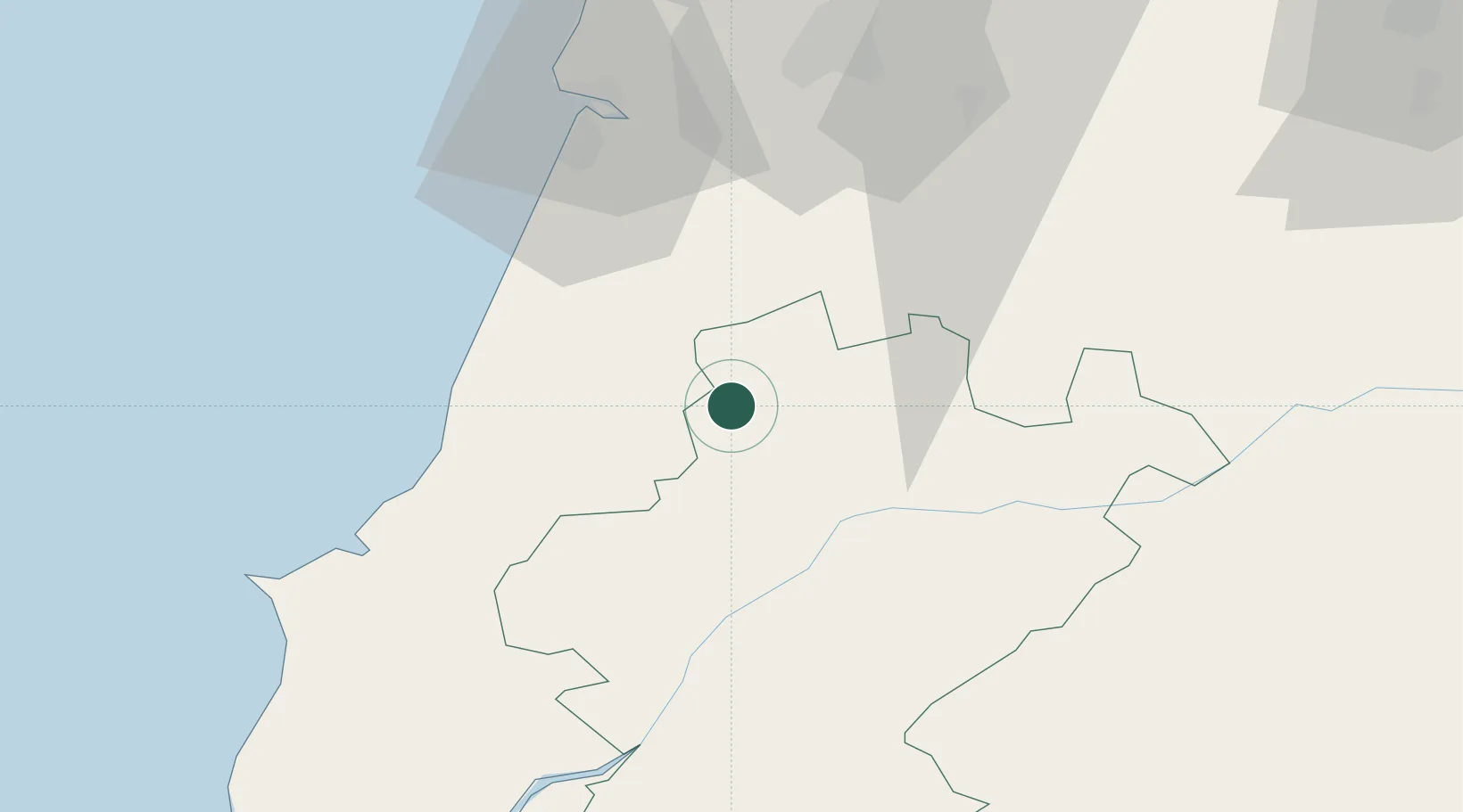
Location
Nearby Logistics Neighbours
Cities
- 1Fátima5 km
- 2Caxarias9 km
- 3Caranguejeira13 km
- 4Albergaria dos Doze15 km
- 5Madalena17 km
Ports
- 1Figueira Da Foz59 km
- 2Aveiro111 km
- 3Lisboa116 km
- 4Setubal128 km
- 5Oporto167 km
Airports
- 1Tancos Airbase29 km
- 2Monte Real Air Base31 km
- 3Aerodromo Municipal de Coimbra58 km
- 4Aeródromo Municipal de Ponte de Sor68 km
- 5Alverca Air Base92 km
Trade Zones
- 1VGP Park Santa Maria da Feira143 km
- 2Zona Livre Tecnológica Masotinhos170 km
- 3Zona Franca de Vigo287 km
- 4Puerto de Huelva302 km
- 5Zona Franca de Sevilla344 km
DatabookThe Record of Consolidated Knowledge
Portugal beyond logistics?