Transport Functions
Port
Hub Profile
Place type
Populated place
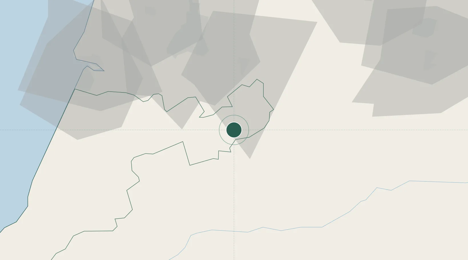
Region
Leiria
Time zone
Europe/Lisbon
Elevation
359 m
Location
Nearby Logistics Neighbours
Cities
- 1Casal Velho6 km
- 2Herdade13 km
- 3Miranda do Corvo25 km
- 4Lousã26 km
- 5Albergaria dos Doze29 km
Ports
- 1Figueira Da Foz58 km
- 2Aveiro91 km
- 3Porto De Leixoes149 km
- 4Lisboa153 km
- 5Setubal162 km
Airports
Trade Zones
- 1VGP Park Santa Maria da Feira119 km
- 2Zona Livre Tecnológica Masotinhos148 km
- 3Zona Franca de Vigo264 km
- 4Puerto de Huelva313 km
- 5Zona Franca de Sevilla345 km
DatabookThe Record of Consolidated Knowledge
Portugal beyond logistics?