Transport Functions
Rail
Road
Multimodal
Hub Profile
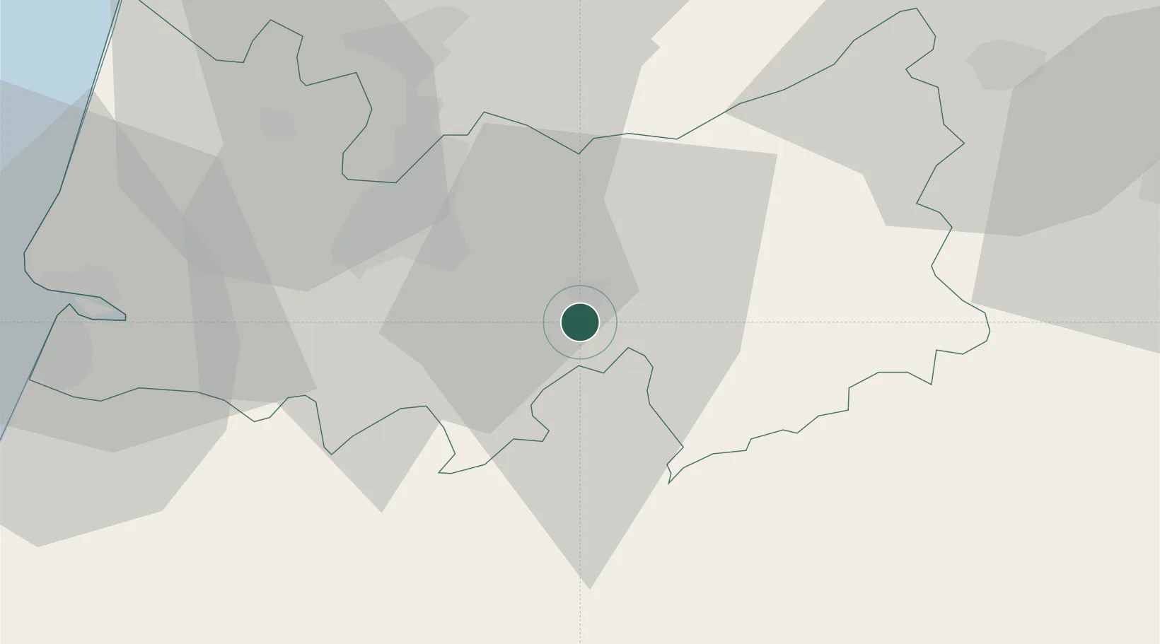
Place type
Populated place
Region
Coimbra
Population
11,445
Time zone
Europe/Lisbon
Elevation
150 m
Location
Nearby Logistics Neighbours
Cities
- 1Miranda do Corvo9 km
- 2Penacova17 km
- 3Coimbra18 km
- 4Cernache20 km
- 5Casal Velho21 km
Ports
- 1Figueira Da Foz53 km
- 2Aveiro69 km
- 3Oporto121 km
- 4Porto De Leixoes125 km
- 5Lisboa177 km
Airports
Trade Zones
- 1VGP Park Santa Maria da Feira95 km
- 2Zona Livre Tecnológica Masotinhos124 km
- 3Zona Franca de Vigo239 km
- 4Puerto de Huelva336 km
- 5Depósito Franco de La Coruña361 km
DatabookThe Record of Consolidated Knowledge
Portugal beyond logistics?