Transport Functions
Rail
Road
Hub Profile
Place type
Populated place
Region
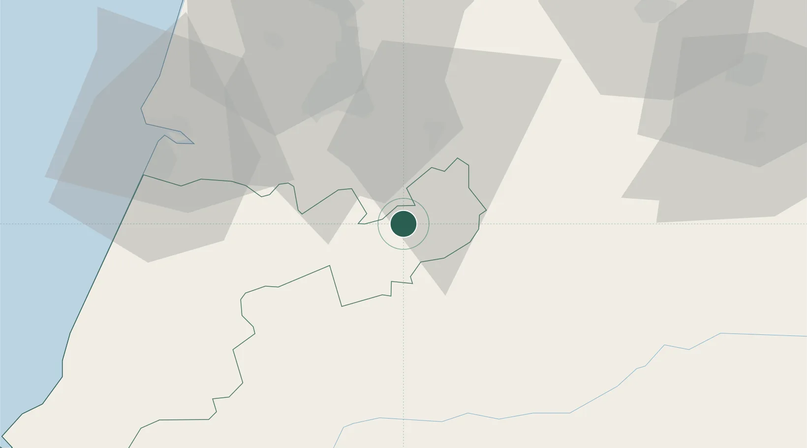
Leiria
Time zone
Europe/Lisbon
Elevation
300 m
Location
Nearby Logistics Neighbours
Cities
- 1Douro6 km
- 2Herdade18 km
- 3Miranda do Corvo19 km
- 4Lousã21 km
- 5Cernache26 km
Ports
- 1Figueira Da Foz53 km
- 2Aveiro85 km
- 3Oporto139 km
- 4Porto De Leixoes143 km
- 5Lisboa156 km
Airports
Trade Zones
- 1VGP Park Santa Maria da Feira113 km
- 2Zona Livre Tecnológica Masotinhos142 km
- 3Zona Franca de Vigo258 km
- 4Puerto de Huelva319 km
- 5Zona Franca de Sevilla351 km
DatabookThe Record of Consolidated Knowledge
Portugal beyond logistics?