Transport Functions
Multimodal
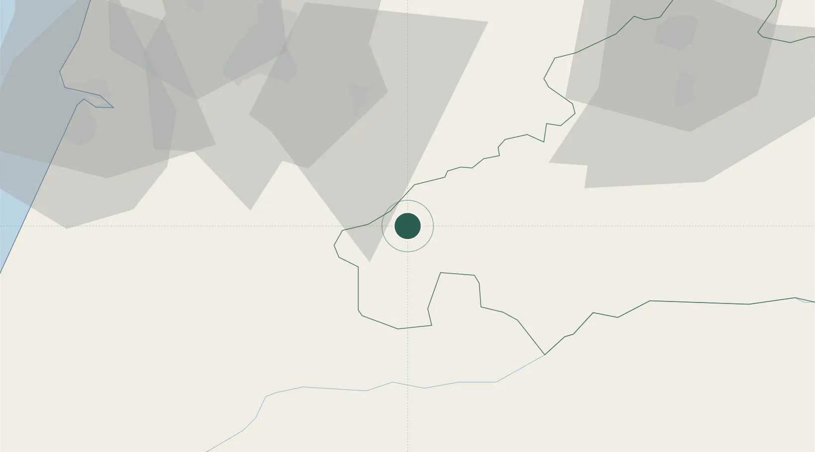
Hub Profile
Place type
Populated place
Region
Castelo Branco
Time zone
Europe/Lisbon
Elevation
493 m
Location
Nearby Logistics Neighbours
Cities
- 1Douro13 km
- 2Casal Velho18 km
- 3Lousã31 km
- 4Ventosa33 km
- 5Miranda do Corvo33 km
Ports
- 1Figueira Da Foz71 km
- 2Aveiro100 km
- 3Oporto152 km
- 4Porto De Leixoes156 km
- 5Lisboa157 km
Airports
Trade Zones
- 1VGP Park Santa Maria da Feira126 km
- 2Zona Livre Tecnológica Masotinhos155 km
- 3Zona Franca de Vigo270 km
- 4Puerto de Huelva305 km
- 5Zona Franca de Sevilla335 km
DatabookThe Record of Consolidated Knowledge
Portugal beyond logistics?