UN/LOCODE hub · Portugal
PTBDZ

Albergaria dos Doze

39.7833°, -8.5833°
1
Transport functions

Transport Functions

Multimodal
UN/LOCODE

Hub Profile

Place type
Populated place
GeoNames
Region
Leiria
GeoNames
Time zone
Europe/Lisbon
GeoNames
Elevation
243 m
GeoNames

Location

Location of PTBDZ
Natural Earth 10m (public domain) · Leiria · PTBDZ · 39.78, -8.58GoogleOSMYandex

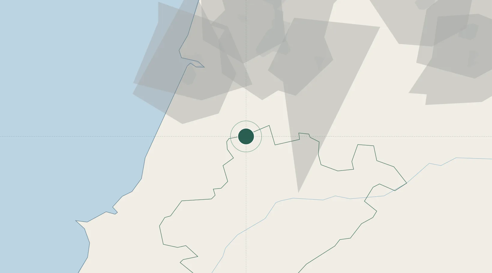
Nearby Logistics Neighbours

Cities
  1. 1Caxarias10 km
  2. 2Caranguejeira13 km
  3. 3Pinhel15 km
  4. 4Pombal15 km
  5. 5Fátima19 km
Nearest neighbours — logibook spatial index (haversine) over the source coordinates
Ports
  1. 1Figueira Da Foz47 km
  2. 2Aveiro97 km
  3. 3Lisboa131 km
  4. 4Setubal144 km
  5. 5Oporto152 km
Nearest neighbours — logibook spatial index (haversine) over the source coordinates
Airports
  1. 1Monte Real Air Base27 km
  2. 2Tancos Airbase39 km
  3. 3Aerodromo Municipal de Coimbra43 km
  4. 4Aeródromo Municipal de Ponte de Sor78 km
  5. 5Aerodromo de Castelo Branco98 km
Nearest neighbours — logibook spatial index (haversine) over the source coordinates
Trade Zones
  1. 1VGP Park Santa Maria da Feira128 km
  2. 2Zona Livre Tecnológica Masotinhos155 km
  3. 3Zona Franca de Vigo272 km
  4. 4Puerto de Huelva314 km
  5. 5Zona Franca de Sevilla353 km
Nearest neighbours — logibook spatial index (haversine) over the source coordinates
DatabookThe Record of Consolidated Knowledge
Portugal beyond logistics?
Browse databook

All Sources

LocationsUN/LOCODE
UN/LOCODE — free
Portsthe NGA World Port Index
Public domain (US gov)
AirportsOurAirports
Public domain
Trade Zonesthe World Bank SEZ database
CC BY 4.0
Trade ZonesOpen Zone Map
CC BY
← Portugal locations