Seaport · Portugal
Porto De LeixoesPTLEI
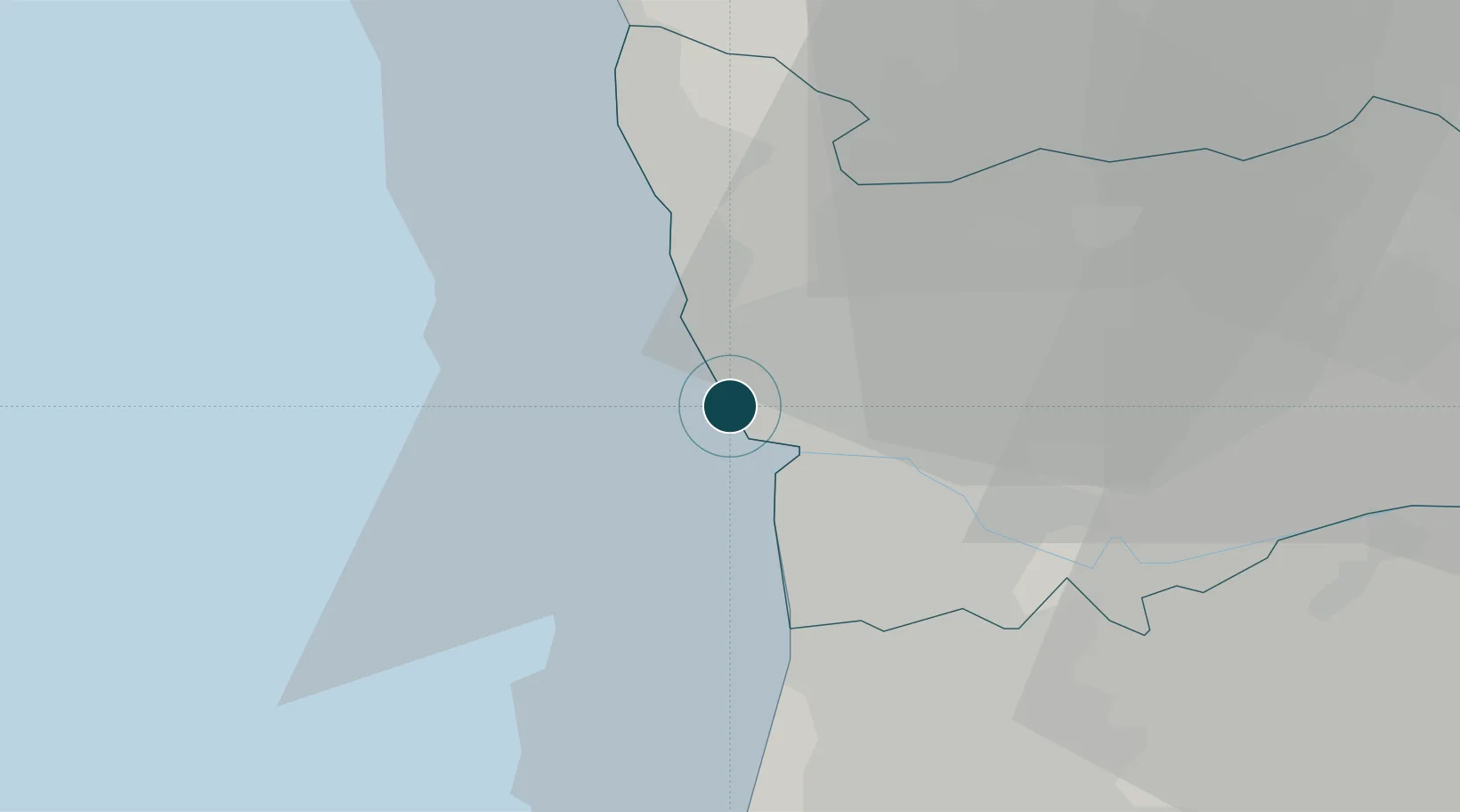
41.1833°, -8.7000°
14.0 m
Channel depth
1
Container terminals
176.3
Port liner connectivity
Channel & Berth Profile
Pilotage, Tugs & Services
Pilotage compulsoryYES
Pilotage availableYES
Pilotage advisableYES
Tug assistanceYES
Shore powerYES
Potable waterYES
Diesel bunkersYES
MedicalYES
Garbage disposalYES
Facilities & Capabilities
Container—
Ro-Ro—
Liquid bulk—
Dry bulk—
Oil terminal—
Break bulk—
Dry dockNO
RepairsNO
BunkeringYES
Rail linkYES
Dangerous cargo—
ISPS security—
Harbour Specifications
Harbour size
Very Small
Harbour type
Coastal (Breakwater)
Shelter
Good
Water body
North Atlantic Ocean
Tidal range
4 m
Overhead limit
Yes
Pilotage
Yes
Liner Connectivity
176.3
PLSCI
Port Liner Shipping Connectivity Index for Porto De Leixoes, as published by UNCTAD for the latest available quarter. Higher values indicate stronger scheduled liner-shipping integration.
Shown relative to the highest per-port PLSCI in the dataset (1,657.9).
Location
Container Terminals · 1
LEIXOES CONTAINER TERMINAL
TCLA TERMINAL DE CONTENTORES DE LEIXOES, SA / YILPORT HOLDING INC.
Nearby Logistics Neighbours
Ports
- 1Oporto5 km
- 2Viana Do Castelo59 km
- 3Aveiro60 km
- 4Figueira Da Foz116 km
- 5Vigo117 km
Cities
- 1Matosinhos1 km
- 2Leça da Palmeira3 km
- 3Guifões3 km
- 4Perafita4 km
- 5Senhora da Hora4 km
Airports
- 1Francisco de Sá Carneiro Airport7 km
- 2Vilar de Luz Airfield19 km
- 3Ovar Air Base30 km
- 4Braga Municipal Aerodrome50 km
- 5Vila Real Airport83 km
Trade Zones
DatabookThe Record of Consolidated Knowledge
Portugal beyond logistics?