UN/LOCODE hub · Portugal
PTMCV
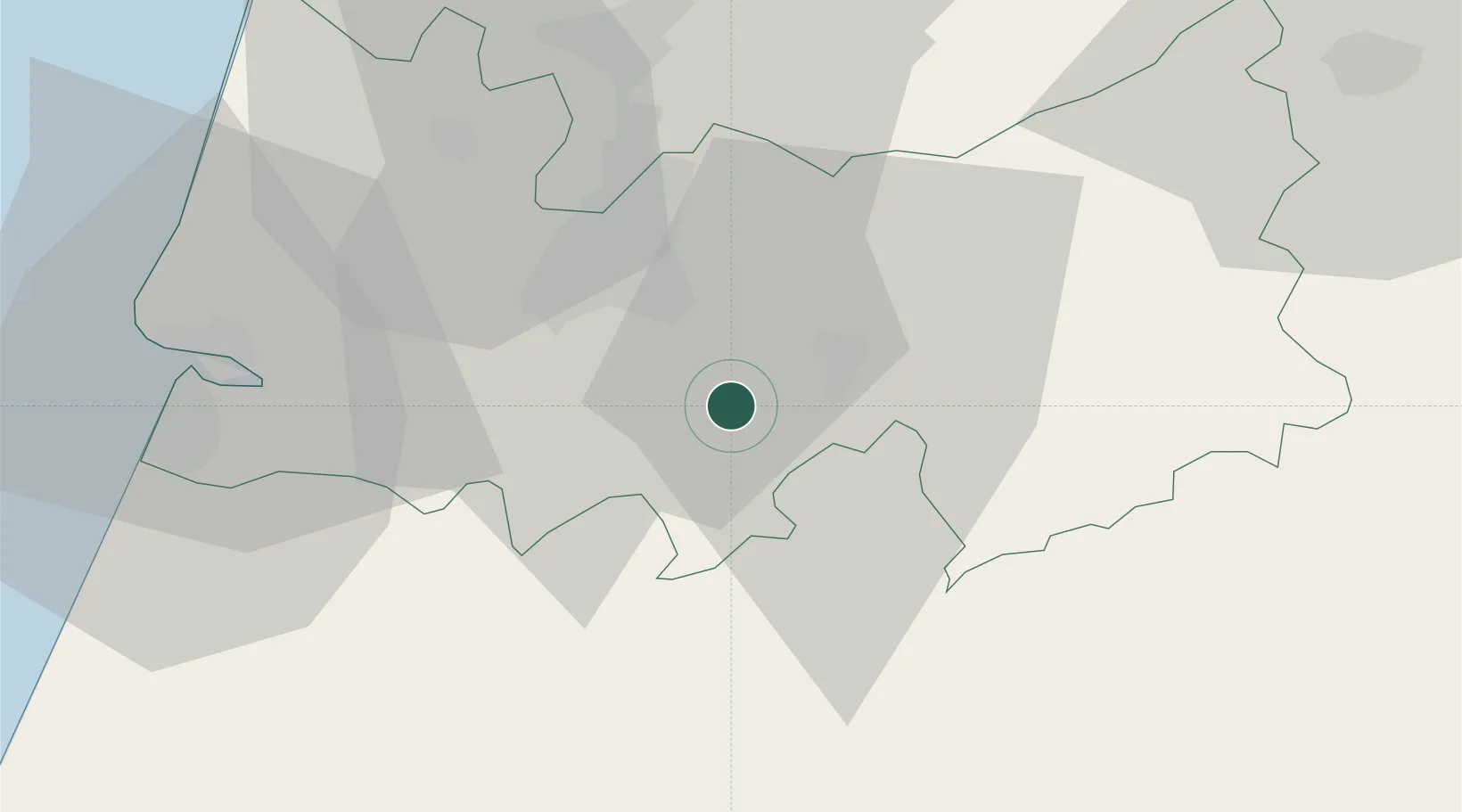
Miranda do Corvo
40.1000°, -8.3333°
7,857
Population
2
Transport functions
Transport Functions
Rail
Road
Hub Profile
Place type
Provincial seat
Region
Coimbra
Population
7,857
Time zone
Europe/Lisbon
Elevation
102 m
Location
Nearby Logistics Neighbours
Cities
- 1Lousã9 km
- 2Cernache12 km
- 3Coimbra13 km
- 4Casal Velho19 km
- 5Penacova19 km
Ports
- 1Figueira Da Foz44 km
- 2Aveiro67 km
- 3Oporto120 km
- 4Porto De Leixoes124 km
- 5Lisboa171 km
Airports
Trade Zones
- 1VGP Park Santa Maria da Feira95 km
- 2Zona Livre Tecnológica Masotinhos123 km
- 3Zona Franca de Vigo239 km
- 4Puerto de Huelva338 km
- 5Depósito Franco de La Coruña362 km
DatabookThe Record of Consolidated Knowledge
Portugal beyond logistics?