Transport Functions
Port
Multimodal
Hub Profile
Place type
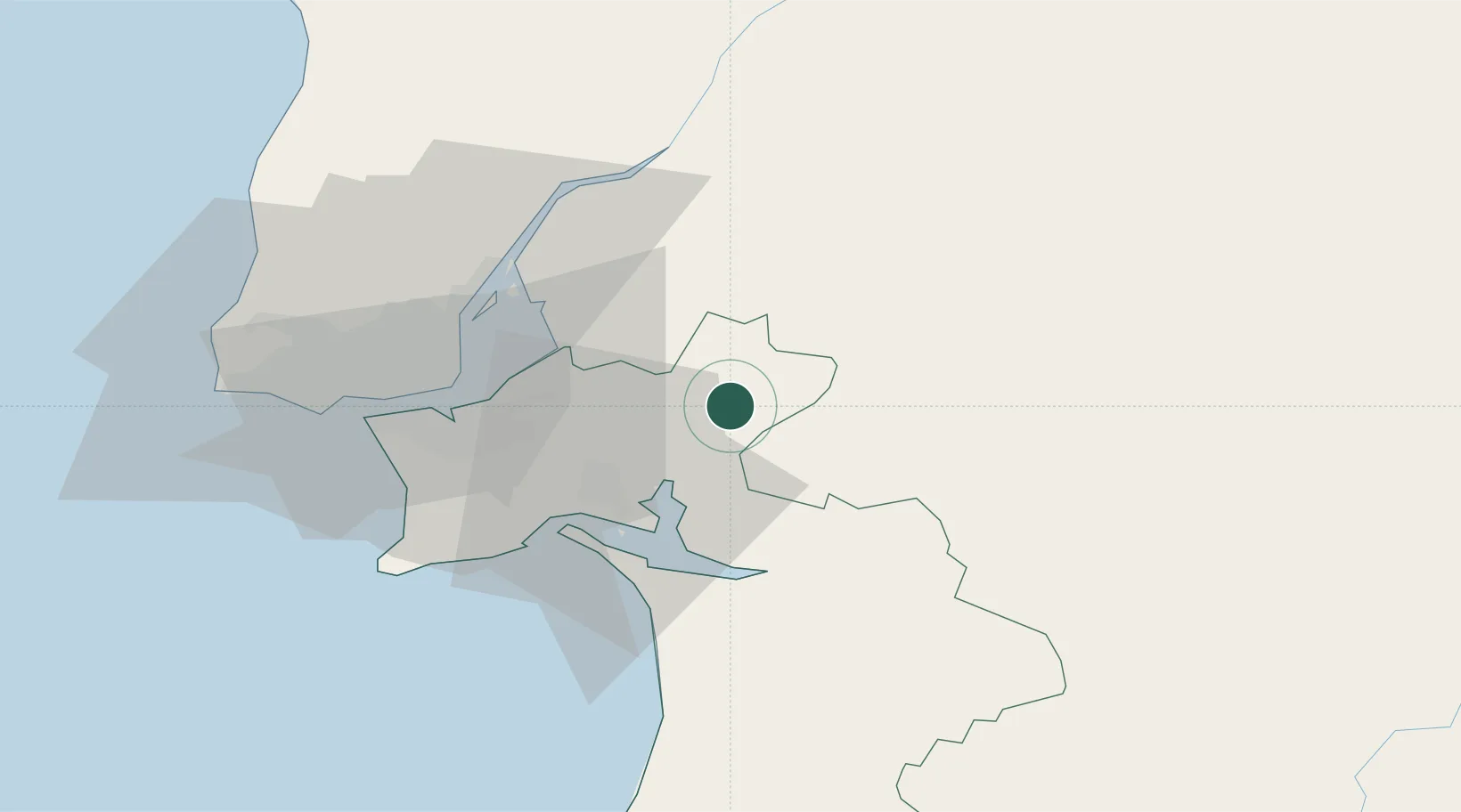
Populated place
Region
Setúbal
Time zone
Europe/Lisbon
Elevation
60 m
Location
Nearby Logistics Neighbours
Cities
- 1Águas de Moura12 km
- 2Vendas Novas19 km
- 3Santo Estevao22 km
- 4Pinhal Novo22 km
- 5Palmela24 km
Ports
- 1Setubal28 km
- 2Lisboa43 km
- 3Sines83 km
- 4Figueira Da Foz164 km
- 5Lagos176 km
Airports
- 1Montijo Air Base32 km
- 2Alverca Air Base39 km
- 3Lisbon Humberto Delgado Airport42 km
- 4Cascais Airport60 km
- 5Sintra Air Base61 km
Trade Zones
- 1Puerto de Huelva218 km
- 2VGP Park Santa Maria da Feira250 km
- 3Zona Livre Tecnológica Masotinhos277 km
- 4Zona Franca de Sevilla278 km
- 5Zona Franca de Cádiz322 km
DatabookThe Record of Consolidated Knowledge
Portugal beyond logistics?