Transport Functions
Rail
Road
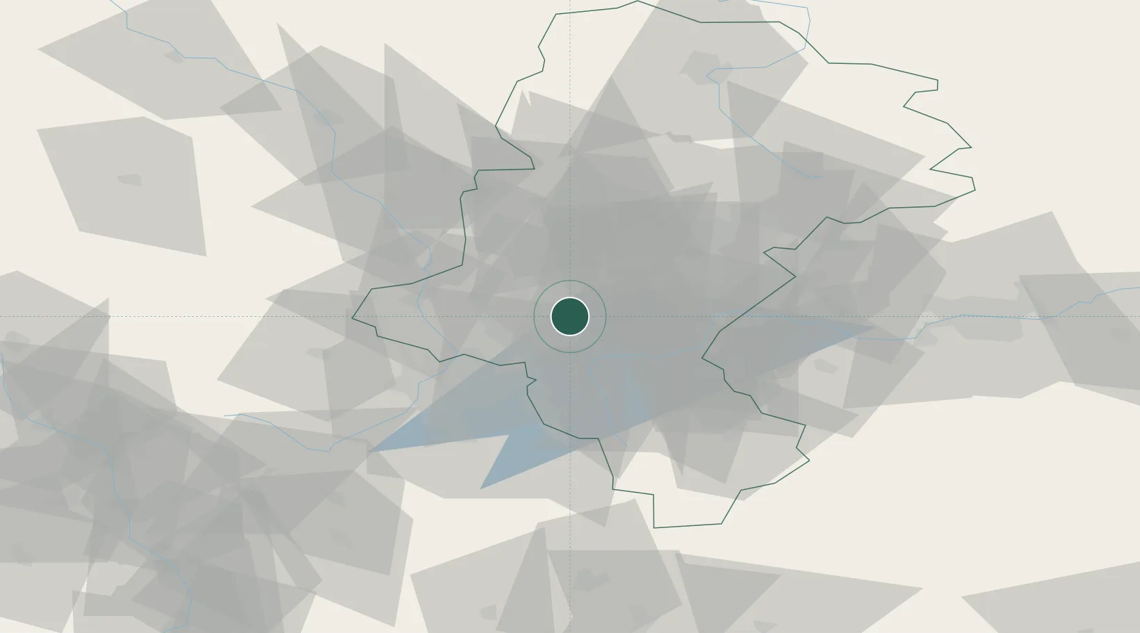
Hub Profile
Place type
Provincial seat
Region
Silesia
Population
63,174
Time zone
Europe/Warsaw
Elevation
251 m
Location
Nearby Logistics Neighbours
Cities
- 1Pawlowice11 km
- 2Czerwionka13 km
- 3Rybnik14 km
- 4Wodzislaw Slaski18 km
- 5Petrovice u Karviné21 km
Airports
Trade Zones
DatabookThe Record of Consolidated Knowledge
Poland beyond logistics?