About
Methodology
Sources
Licensing
English
EN
English
TR
Türkçe
DE
Deutsch
FR
Français
ES
Español
IT
Italiano
PT
Português
NL
Nederlands
PL
Polski
RU
Русский
UK
Українська
CS
Čeština
RO
Română
EL
Ελληνικά
BG
Български
AR
العربية
FA
فارسی
UR
اردو
HI
हिन्दी
BN
বাংলা
ID
Bahasa Indonesia
VI
Tiếng Việt
ZH
中文
JA
日本語
KO
한국어
logibook
/
Countries
/
Poland
/
Locations
/
Czerwionka
UN/LOCODE hub ·
Poland
PL
CKL
Czerwionka
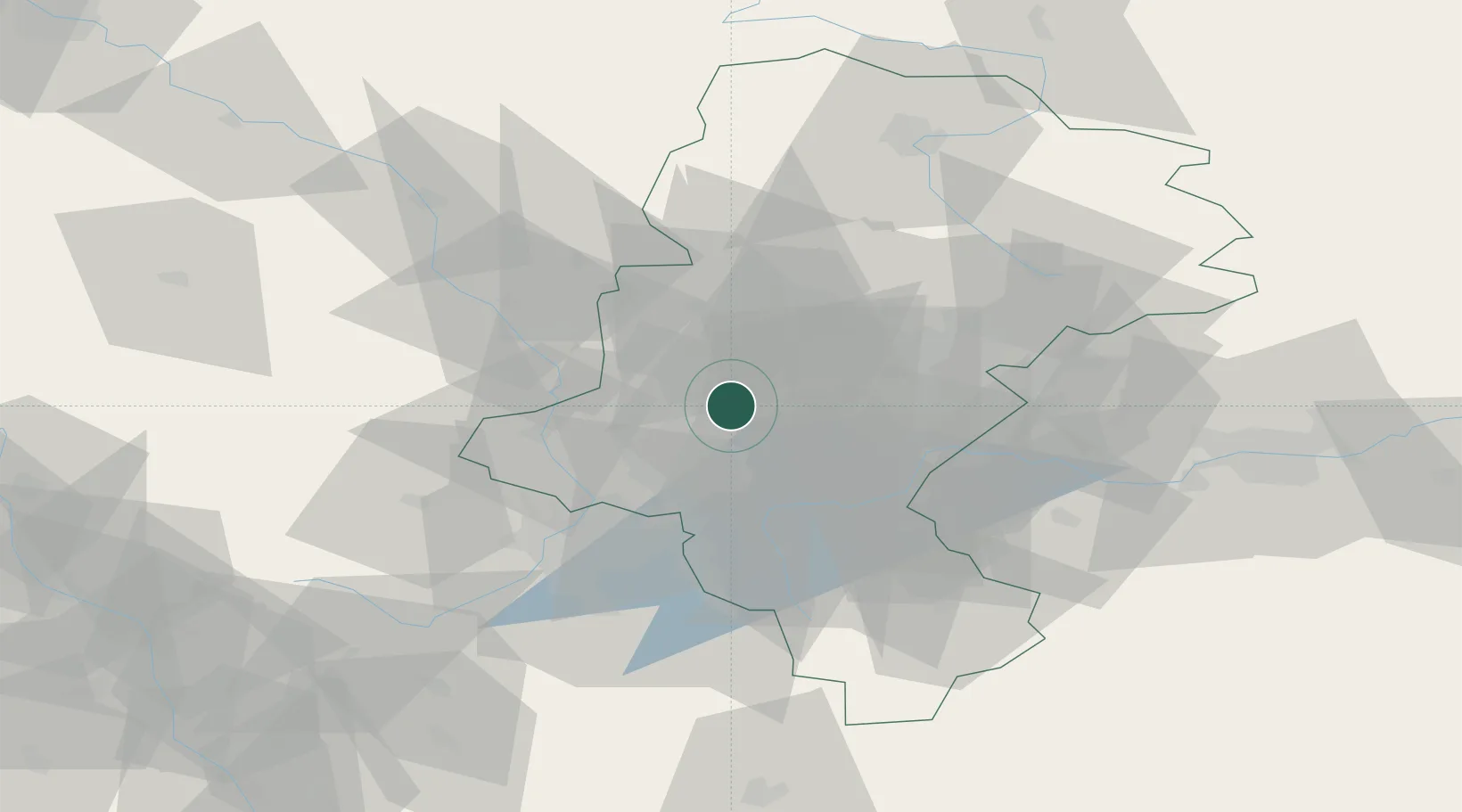
50.1667°, 18.6833°
3
Transport functions
Transport Functions
Rail
Road
Multimodal
UN/LOCODE
Location
Natural Earth 10m (public domain) · Silesian · PLCKL · 50.17, 18.68
Google ↗
OSM ↗
Yandex ↗
Nearby Logistics Neighbours
Cities
1
Rybnik
12 km
2
Zory
13 km
3
Gliwice
17 km
4
Kamionka
17 km
5
Lyski
21 km
Nearest neighbours — logibook spatial index (haversine) over the source coordinates
Ports
1
Szczecin
460 km
2
Gdansk
465 km
3
Police
472 km
4
Nowy Port
473 km
5
Gdynia
486 km
Nearest neighbours — logibook spatial index (haversine) over the source coordinates
Airports
1
Katowice Wojciech Korfanty International Airport
45 km
2
Leoš Janáček Airport Ostrava
66 km
3
Kraków John Paul II International Airport
79 km
4
Žilina-Dolný Hričov Airport
104 km
5
Přerov Air Base
123 km
Nearest neighbours — logibook spatial index (haversine) over the source coordinates
Trade Zones
1
Katowice SEZ (Katowicka SSE)
14 km
2
Silesian Center for Logistics
19 km
3
Karvinská Specialized Economic Zone
36 km
4
Mošnov Development Area
67 km
5
Krnov - Červený Dvůr Municipal Industrial Zone
68 km
Nearest neighbours — logibook spatial index (haversine) over the source coordinates
Data
book
The Record of Consolidated Knowledge
Poland beyond logistics?
Browse databook
→
All Sources
Locations
UN/LOCODE
UN/LOCODE — free
↗
Ports
the NGA World Port Index
Public domain (US gov)
↗
Airports
OurAirports
Public domain
↗
Trade Zones
the World Bank SEZ database
CC BY 4.0
↗
Trade Zones
Open Zone Map
CC BY
↗
← Poland locations