Transport Functions
Rail
Road
Multimodal
Hub Profile
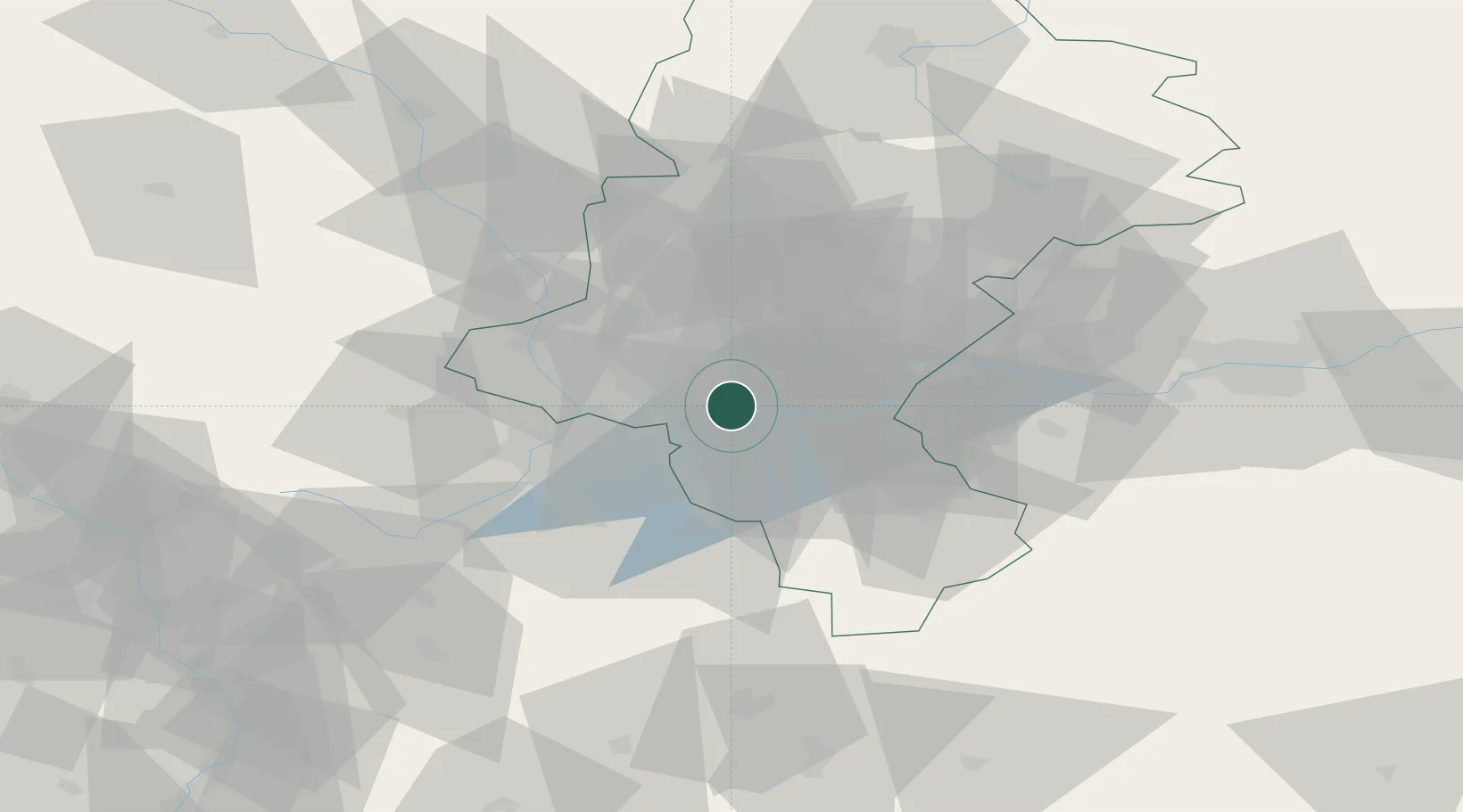
Place type
Populated place
Region
Silesia
Population
9,929
Time zone
Europe/Warsaw
Elevation
264 m
Location
Nearby Logistics Neighbours
Cities
- 1Zory11 km
- 2Petrovice u Karviné14 km
- 3Karviná15 km
- 4Wodzislaw Slaski19 km
- 5Rybnik23 km
Airports
Trade Zones
DatabookThe Record of Consolidated Knowledge
Poland beyond logistics?