Large airport · Poland

Katowice Wojciech Korfanty International AirportEPKT
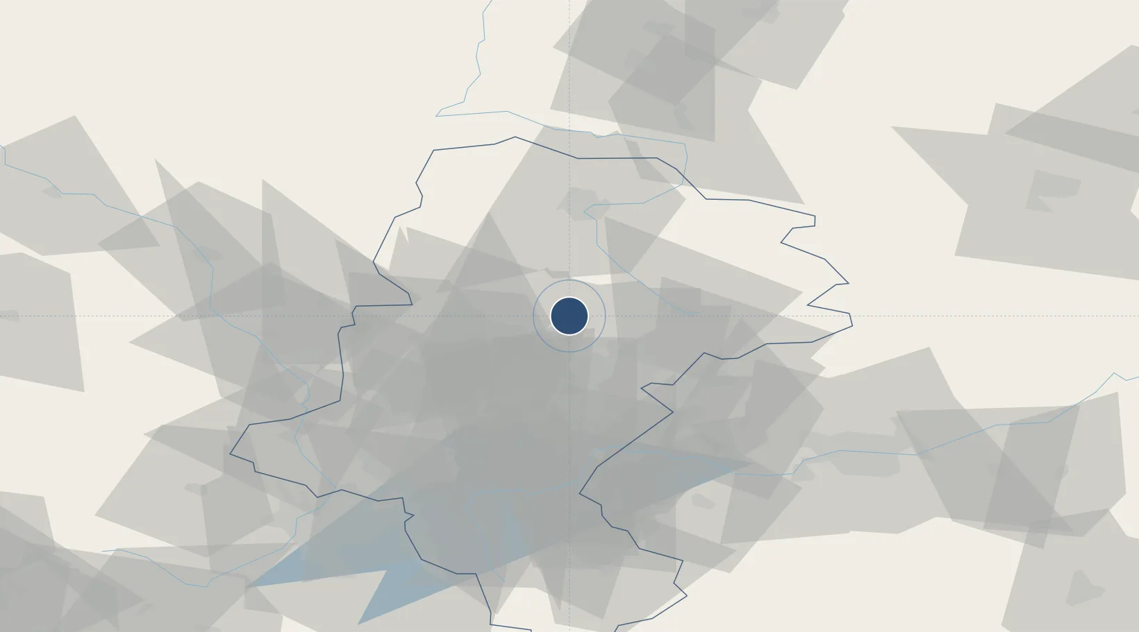
50.4760°, 19.0807°
10,499 ft
Longest runway
1
Runways
995 ft
Elevation

Runway & Layout

Katowice Wojciech Korfanty International Airport runway & taxiway layout
Runway & taxiway layout — OpenStreetMap (ODbL) / OurAirports

Radio Frequencies

TWR
129.25 MHz
APP
121.075 MHz
GCCD
131.45 MHz
HANDLING
OurAirports

Navaids

PT NDB Katowice 285 kHz
OurAirports

Runways · 1

RunwayDimensions SurfaceTrue headingLit
08/26 10,499 × 148ft Concrete 090°
OurAirports

Airport Specifications

IATA code
KTW
OurAirports
ICAO code
EPKT
OurAirports
Airport class
Large airport
OurAirports
Scheduled service
Yes
OurAirports
Runway surface
Concrete
OurAirports
Served city
Katowice
OurAirports

Location

Location of EPKT
Natural Earth 10m (public domain) · Silesian · EPKT · 50.48, 19.08GoogleOSMYandex

Nearby Logistics Neighbours

Airports
  1. 1Kraków John Paul II International Airport67 km
  2. 2Leoš Janáček Airport Ostrava111 km
  3. 3Łask Air Base120 km
  4. 4Łódź Władysław Reymont Airport140 km
  5. 5Žilina-Dolný Hričov Airport142 km
Nearest neighbours — logibook spatial index (haversine) over the source coordinates
Cities
  1. 1Miasteczko Slaskie11 km
  2. 2Radzionków13 km
  3. 3Kalety16 km
  4. 4Czeladz18 km
  5. 5Poreba18 km
Nearest neighbours — logibook spatial index (haversine) over the source coordinates
Ports
  1. 1Gdansk432 km
  2. 2Nowy Port439 km
  3. 3Szczecin451 km
  4. 4Gdynia453 km
  5. 5Police462 km
Nearest neighbours — logibook spatial index (haversine) over the source coordinates
Trade Zones
  1. 1Katowice SEZ (Katowicka SSE)33 km
  2. 2Silesian Center for Logistics36 km
  3. 3Kraków Technology Park76 km
  4. 4Karvinská Specialized Economic Zone79 km
  5. 5Krnov - Červený Dvůr Municipal Industrial Zone106 km
Nearest neighbours — logibook spatial index (haversine) over the source coordinates
DatabookThe Record of Consolidated Knowledge
Poland beyond logistics?
Browse databook

All Sources

AirportsOurAirports
Public domain
Portsthe NGA World Port Index
Public domain (US gov)
LocationsUN/LOCODE
UN/LOCODE — free
Trade Zonesthe World Bank SEZ database
CC BY 4.0
Trade ZonesOpen Zone Map
CC BY
InfrastructureOpenStreetMap
ODbL 1.0
← Poland airports