Transport Functions
Rail
Road
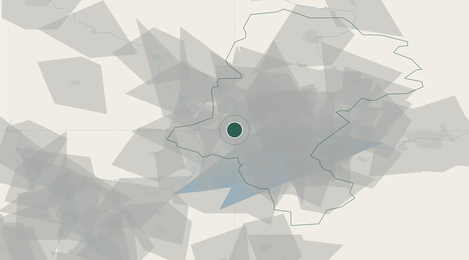
Hub Profile
Place type
Provincial seat
Region
Silesia
Population
142,510
Time zone
Europe/Warsaw
Elevation
233 m
Location
Nearby Logistics Neighbours
Cities
- 1Lyski10 km
- 2Czerwionka12 km
- 3Wodzislaw Slaski14 km
- 4Zory14 km
- 5Kornowac15 km
Airports
Trade Zones
DatabookThe Record of Consolidated Knowledge
Poland beyond logistics?