UN/LOCODE hub · Poland
PLWZL
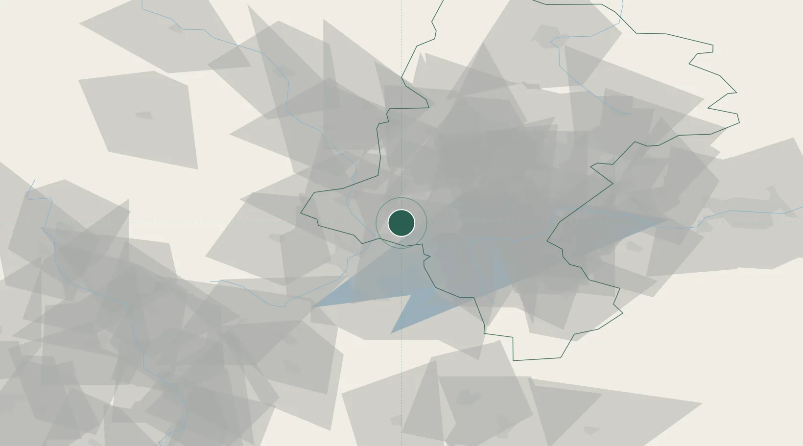
Wodzislaw Slaski
50.0000°, 18.4667°
49,521
Population
2
Transport functions
Transport Functions
Rail
Road
Hub Profile
Place type
Provincial seat
Region
Silesia
Population
49,521
Time zone
Europe/Warsaw
Elevation
246 m
Location
Nearby Logistics Neighbours
Cities
- 1Kornowac12 km
- 2Petrovice u Karviné12 km
- 3Rybnik14 km
- 4Lyski14 km
- 5Karviná16 km
Airports
Trade Zones
DatabookThe Record of Consolidated Knowledge
Poland beyond logistics?