UN/LOCODE hub · Czechia
CZPKA
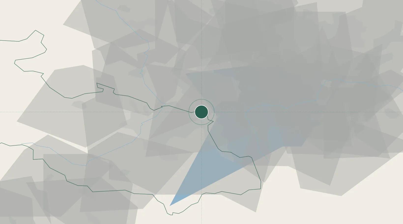
Petrovice u Karviné
49.9000°, 18.5333°
4,971
Population
2
Transport functions
Transport Functions
Rail
Border Crossing
Hub Profile
Place type
Populated place
Region
Moravskoslezský
Population
4,971
Time zone
Europe/Prague
Elevation
227 m
Location
Nearby Logistics Neighbours
Cities
- 1Karviná4 km
- 2Orlova9 km
- 3Horní Suchá12 km
- 4Petrvald12 km
- 5Wodzislaw Slaski12 km
Airports
DatabookThe Record of Consolidated Knowledge
Czechia beyond logistics?