UN/LOCODE hub · Poland
PLOSJ
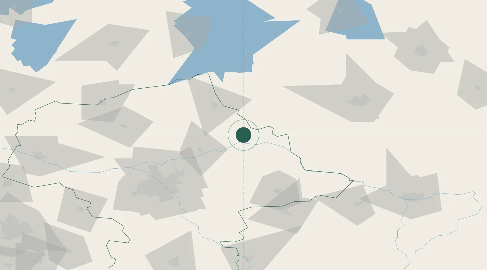
Ostrów Mazowiecka
52.7833°, 21.9000°
22,653
Population
2
Transport functions
Transport Functions
Rail
Road
Hub Profile
Place type
Populated place
Region
Mazovia
Population
22,653
Time zone
Europe/Warsaw
Elevation
122 m
Location
Nearby Logistics Neighbours
Cities
- 1Zambrów30 km
- 2Wyszków36 km
- 3Ostroleka40 km
- 4Wolka Folwark42 km
- 5Wegrow43 km
Ports
- 1Kaliningrad233 km
- 2Baltiysk244 km
- 3Gdansk276 km
- 4Nowy Port280 km
- 5Gdynia294 km
Airports
- 1Minsk Mazowiecki Military Air Base67 km
- 2Warsaw Modlin Airport92 km
- 3Warsaw Chopin Airport93 km
- 4Olsztyn-Mazury Airport101 km
- 5Deblin Military Air Base137 km
Trade Zones
DatabookThe Record of Consolidated Knowledge
Poland beyond logistics?