UN/LOCODE hub · Poland
PLZAS
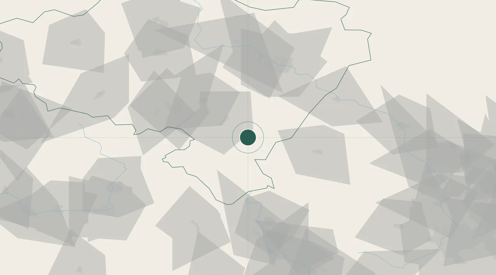
Zabkowice Slaskie
50.5833°, 16.8167°
15,004
Population
2
Transport functions
Transport Functions
Rail
Road
Hub Profile
Place type
Populated place
Region
Lower Silesia
Population
15,004
Time zone
Europe/Warsaw
Elevation
287 m
Location
Nearby Logistics Neighbours
Cities
- 1Jaszkowa Dolna19 km
- 2Dzierzoniów20 km
- 3Pieszyce21 km
- 4Ludwikowice Klodzkie25 km
- 5Otmuchów27 km
Ports
- 1Szczecin351 km
- 2Police366 km
- 3Swinoujscie409 km
- 4Kolobrzeg413 km
- 5Darlowo429 km
Airports
- 1Copernicus Wrocław Airport58 km
- 2Pardubice Airport99 km
- 3Čáslav Air Base125 km
- 4Leoš Janáček Airport Ostrava135 km
- 5Přerov Air Base135 km
Trade Zones
DatabookThe Record of Consolidated Knowledge
Poland beyond logistics?