Transport Functions
Multimodal
Hub Profile
Region
02
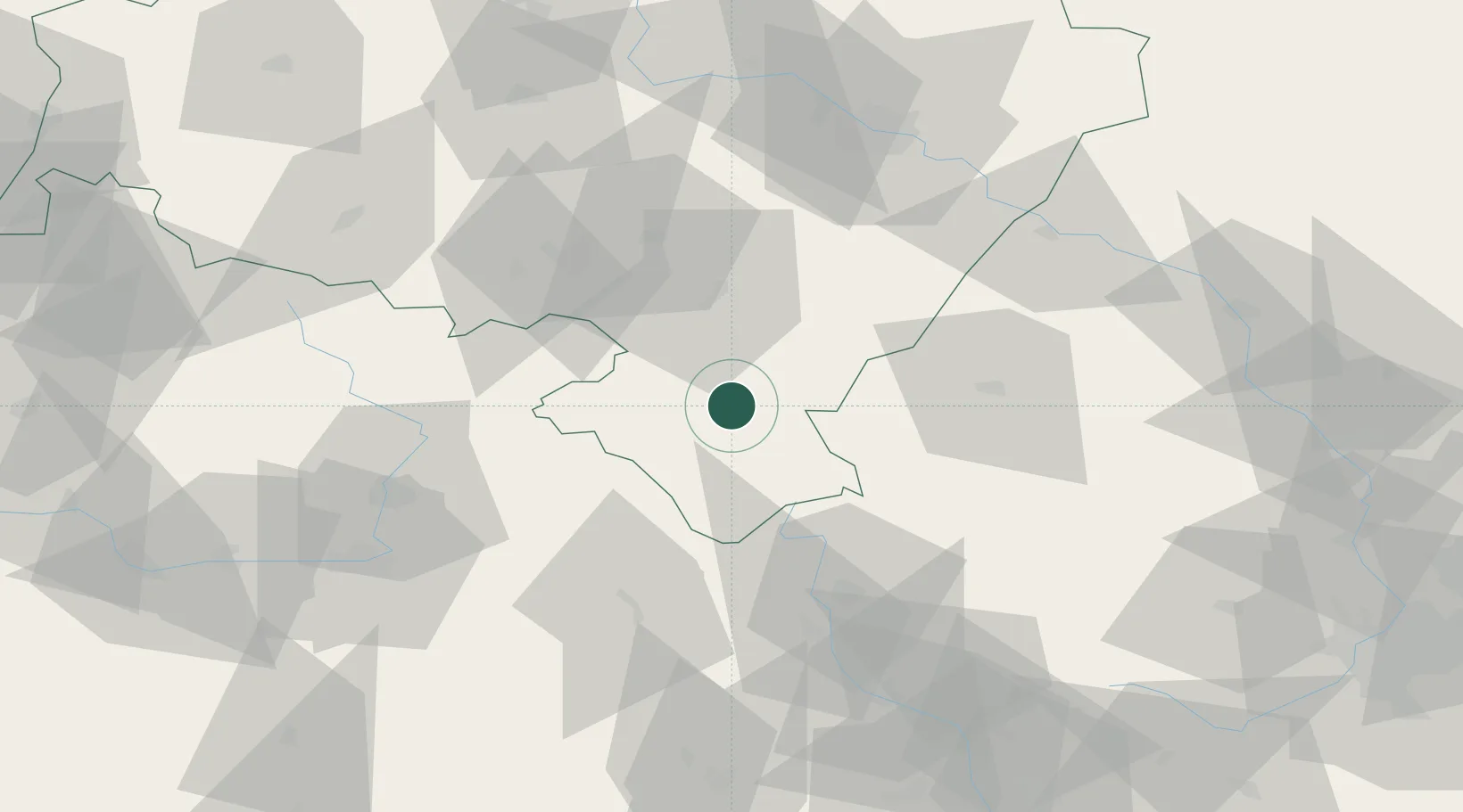
Location
Nearby Logistics Neighbours
Cities
- 1Polanica-Zdrój12 km
- 2Bystrzyca Klodzka15 km
- 3Szczytna16 km
- 4Zabkowice Slaskie19 km
- 5Otovice25 km
Ports
- 1Szczecin363 km
- 2Police377 km
- 3Swinoujscie421 km
- 4Kolobrzeg428 km
- 5Darlowo445 km
Airports
- 1Copernicus Wrocław Airport76 km
- 2Pardubice Airport82 km
- 3Čáslav Air Base108 km
- 4Přerov Air Base123 km
- 5Kostomlaty Airstrip127 km
Trade Zones
DatabookThe Record of Consolidated Knowledge
Poland beyond logistics?