Transport Functions
Rail
Road
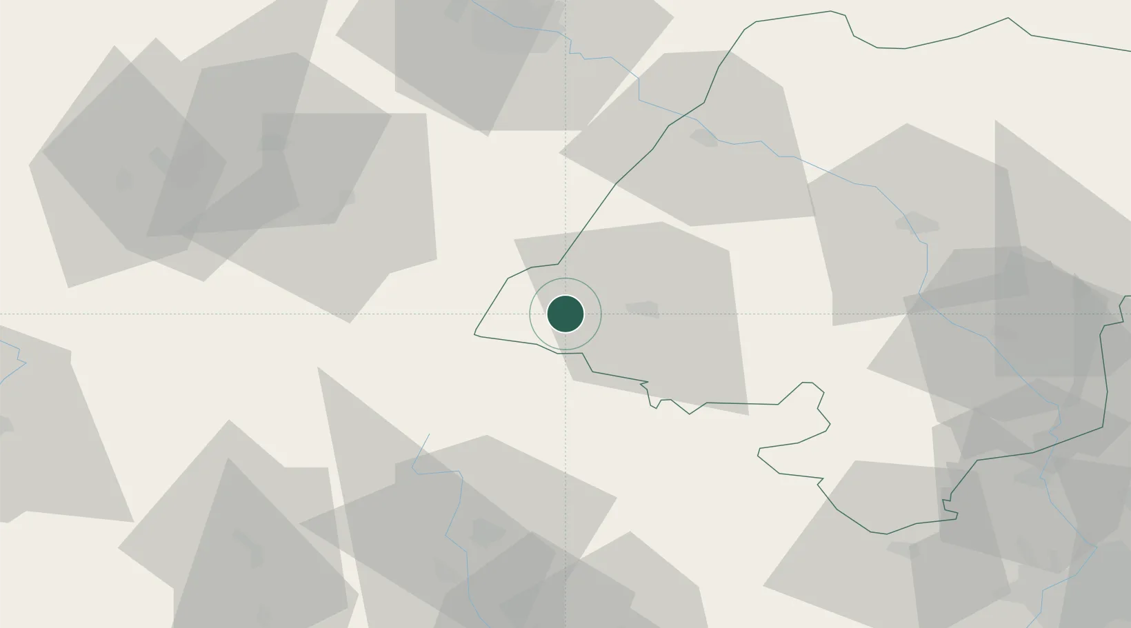
Hub Profile
Place type
District seat
Region
Opole Voivodeship
Population
5,181
Time zone
Europe/Warsaw
Elevation
208 m
Location
Nearby Logistics Neighbours
Cities
- 1Zulova17 km
- 2Ceská Ves25 km
- 3Zabkowice Slaskie27 km
- 4Jaszkowa Dolna33 km
- 5Staré Mesto36 km
Ports
- 1Szczecin373 km
- 2Police387 km
- 3Kolobrzeg431 km
- 4Swinoujscie431 km
- 5Darlowo444 km
Airports
- 1Copernicus Wrocław Airport73 km
- 2Leoš Janáček Airport Ostrava110 km
- 3Pardubice Airport112 km
- 4Přerov Air Base117 km
- 5Katowice Wojciech Korfanty International Airport137 km
Trade Zones
DatabookThe Record of Consolidated Knowledge
Poland beyond logistics?