Transport Functions
Rail
Road
Hub Profile
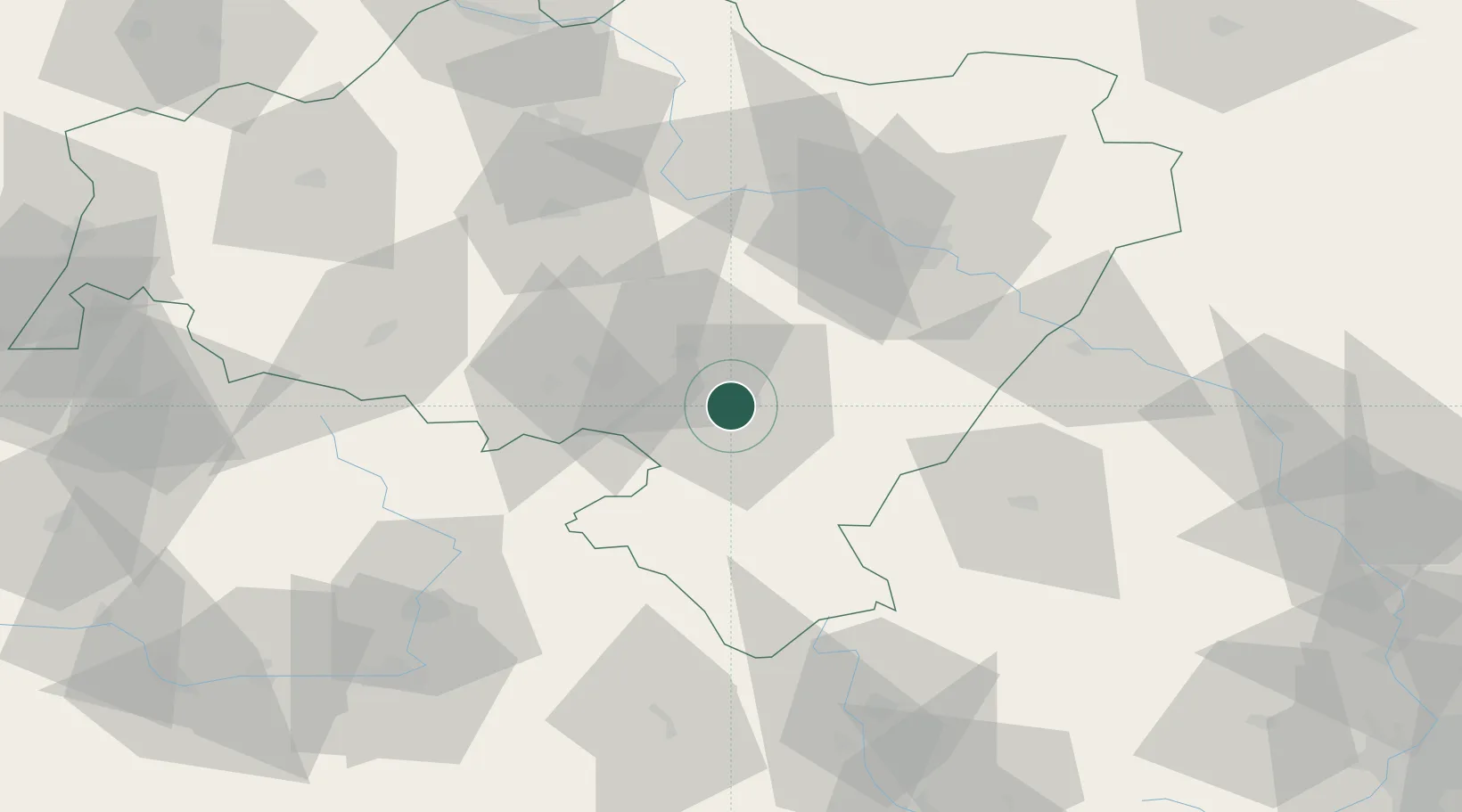
Place type
District seat
Region
Lower Silesia
Population
9,406
Time zone
Europe/Warsaw
Elevation
299 m
Location
Nearby Logistics Neighbours
Cities
- 1Dzierzoniów4 km
- 2Ludwikowice Klodzkie15 km
- 3Swidnica15 km
- 4Pszenno17 km
- 5Jedlina-Zdrój19 km
Ports
- 1Szczecin331 km
- 2Police346 km
- 3Swinoujscie390 km
- 4Kolobrzeg396 km
- 5Darlowo414 km
Airports
- 1Copernicus Wrocław Airport47 km
- 2Pardubice Airport99 km
- 3Čáslav Air Base122 km
- 4Kostomlaty Airstrip131 km
- 5Rothenburg/Görlitz Airfield136 km
Trade Zones
DatabookThe Record of Consolidated Knowledge
Poland beyond logistics?