Transport Functions
Rail
Road
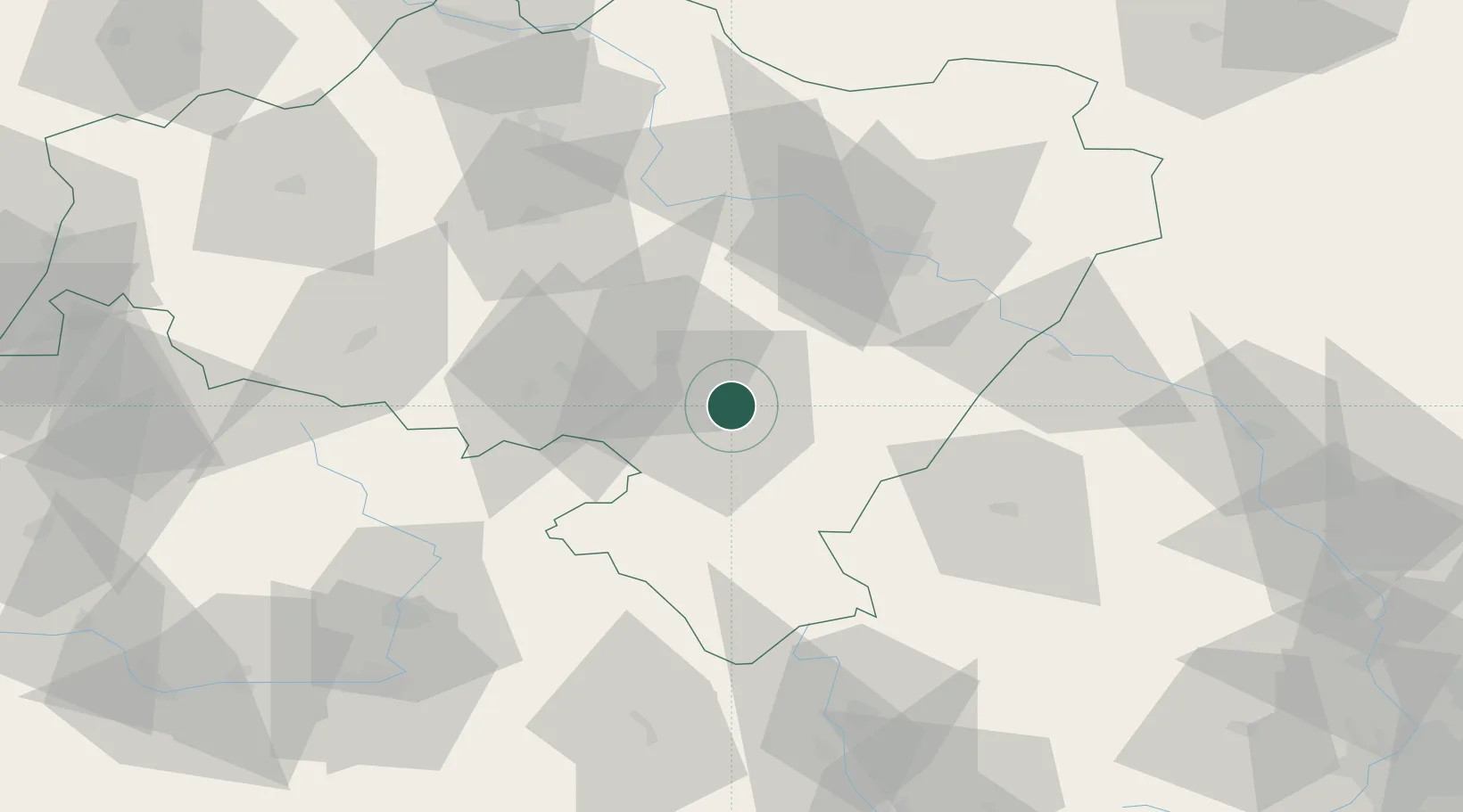
Hub Profile
Place type
District seat
Region
Lower Silesia
Population
34,168
Time zone
Europe/Warsaw
Elevation
278 m
Location
Nearby Logistics Neighbours
Cities
- 1Pieszyce4 km
- 2Swidnica16 km
- 3Pszenno16 km
- 4Ludwikowice Klodzkie18 km
- 5Zabkowice Slaskie20 km
Ports
- 1Szczecin331 km
- 2Police346 km
- 3Swinoujscie389 km
- 4Kolobrzeg394 km
- 5Darlowo412 km
Airports
- 1Copernicus Wrocław Airport44 km
- 2Pardubice Airport103 km
- 3Čáslav Air Base126 km
- 4Kostomlaty Airstrip135 km
- 5Rothenburg/Görlitz Airfield138 km
Trade Zones
DatabookThe Record of Consolidated Knowledge
Poland beyond logistics?