UN/LOCODE hub · Poland
PLLUK

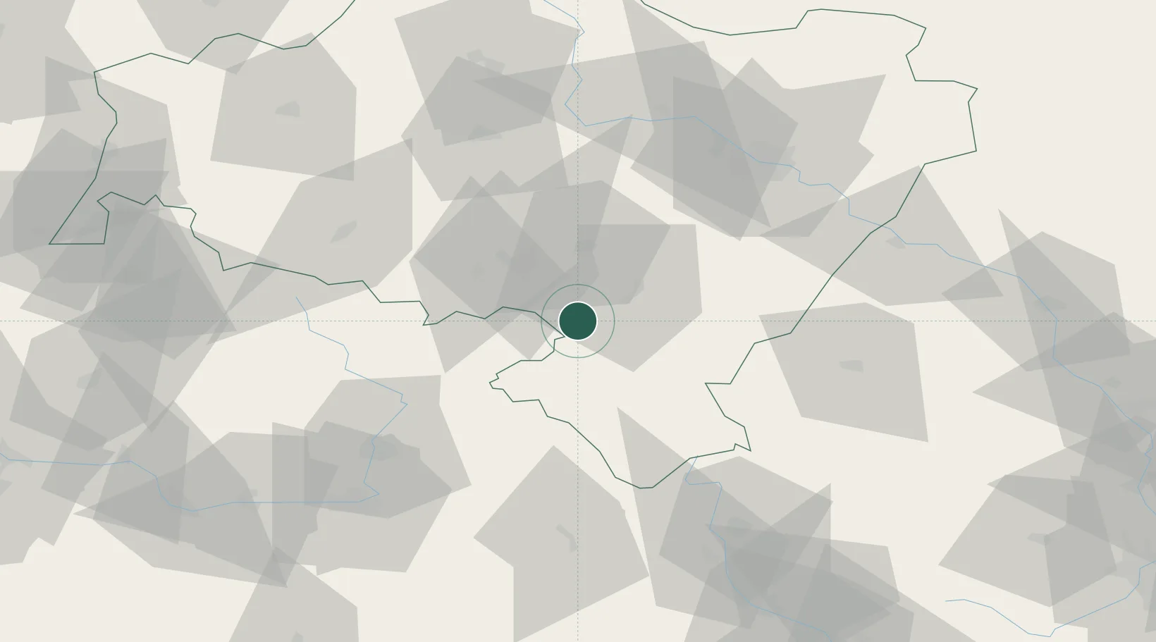
Ludwikowice Klodzkie

50.6167°, 16.4667°
2,540
Population
2
Transport functions

Transport Functions

Rail
Road
UN/LOCODE

Hub Profile

Place type
Populated place
GeoNames
Region
Lower Silesia
GeoNames
Population
2,540
GeoNames
Time zone
Europe/Warsaw
GeoNames
Elevation
484 m
GeoNames

Location

Location of PLLUK
Natural Earth 10m (public domain) · Lower Silesia · PLLUK · 50.62, 16.47GoogleOSMYandex

Nearby Logistics Neighbours

Cities
  1. 1Otovice7 km
  2. 2Pieszyce15 km
  3. 3Mezimestí15 km
  4. 4Jedlina-Zdrój16 km
  5. 5Dzierzoniów18 km
Nearest neighbours — logibook spatial index (haversine) over the source coordinates
Ports
  1. 1Szczecin338 km
  2. 2Police353 km
  3. 3Swinoujscie396 km
  4. 4Kolobrzeg405 km
  5. 5Wolgast423 km
Nearest neighbours — logibook spatial index (haversine) over the source coordinates
Airports
  1. 1Copernicus Wrocław Airport62 km
  2. 2Pardubice Airport85 km
  3. 3Čáslav Air Base108 km
  4. 4Kostomlaty Airstrip118 km
  5. 5Rothenburg/Görlitz Airfield135 km
Nearest neighbours — logibook spatial index (haversine) over the source coordinates
Trade Zones
  1. 1Wałbrzych SEZ INVEST-PARK (Wałbrzyska SSE)25 km
  2. 2Kamienna Góra36 km
  3. 3Pardubice City Industrial Zone81 km
  4. 4Legnica SEZ (Legnicka SSE)83 km
  5. 5Bruntál Industrial Zone98 km
Nearest neighbours — logibook spatial index (haversine) over the source coordinates
DatabookThe Record of Consolidated Knowledge
Poland beyond logistics?
Browse databook

All Sources

LocationsUN/LOCODE
UN/LOCODE — free
LocationsGeoNames
CC BY 4.0
Portsthe NGA World Port Index
Public domain (US gov)
AirportsOurAirports
Public domain
Trade Zonesthe World Bank SEZ database
CC BY 4.0
Trade ZonesOpen Zone Map
CC BY
← Poland locations