Large airport · Poland
Copernicus Wrocław AirportEPWR
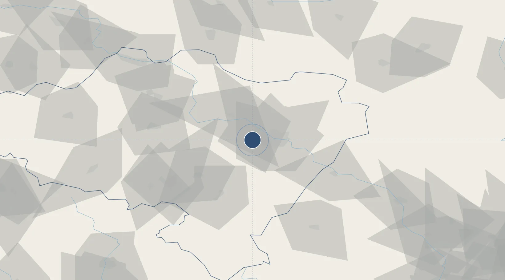
51.1037°, 16.8821°
8,212 ft
Longest runway
1
Runways
404 ft
Elevation
Runway & Layout

Radio Frequencies
ATIS
124.33 MHz
WROCLAW ATIS (H24)
TWR
120.255 MHz
WROCLAW TOWER (H24)
CLD
121.805 MHz
WROCŁAW DELIVERY (0530-2100)
APP
123.04 MHz
POZNAŃ APPROACH (H24)
APP
128.925 MHz
POZNAŃ APPROACH (H24)
Navaids
H NDB Wroclaw 255 kHz
HG NDB Wroclaw 525 kHz
TRZ VOR-DME Trzebnica 113.60 MHz
Runways · 1
| Runway | Dimensions | Surface | True heading | Lit |
|---|---|---|---|---|
| 11/29 | 8,212 × 147ft | CONC-ASPH | 116° | ✓ |
Airport Specifications
IATA code
WRO
ICAO code
EPWR
Airport class
Large airport
Scheduled service
Yes
Runway surface
CONC-ASPH
Served city
Wrocław
Location
Nearby Logistics Neighbours
Airports
- 1Krzesiny Military Air Base137 km
- 2Zielona Góra-Babimost Airport137 km
- 3Rothenburg/Görlitz Airfield138 km
- 4Pardubice Airport146 km
- 5Poznań-Ławica Airport147 km
Cities
- 1Magnice15 km
- 2Kobierzyce16 km
- 3Kostomloty20 km
- 4Mietków21 km
- 5Oborniki Slaskie22 km
Ports
- 1Szczecin302 km
- 2Police316 km
- 3Kolobrzeg358 km
- 4Swinoujscie359 km
- 5Darlowo372 km
Trade Zones
DatabookThe Record of Consolidated Knowledge
Poland beyond logistics?