Transport Functions
Rail
Road
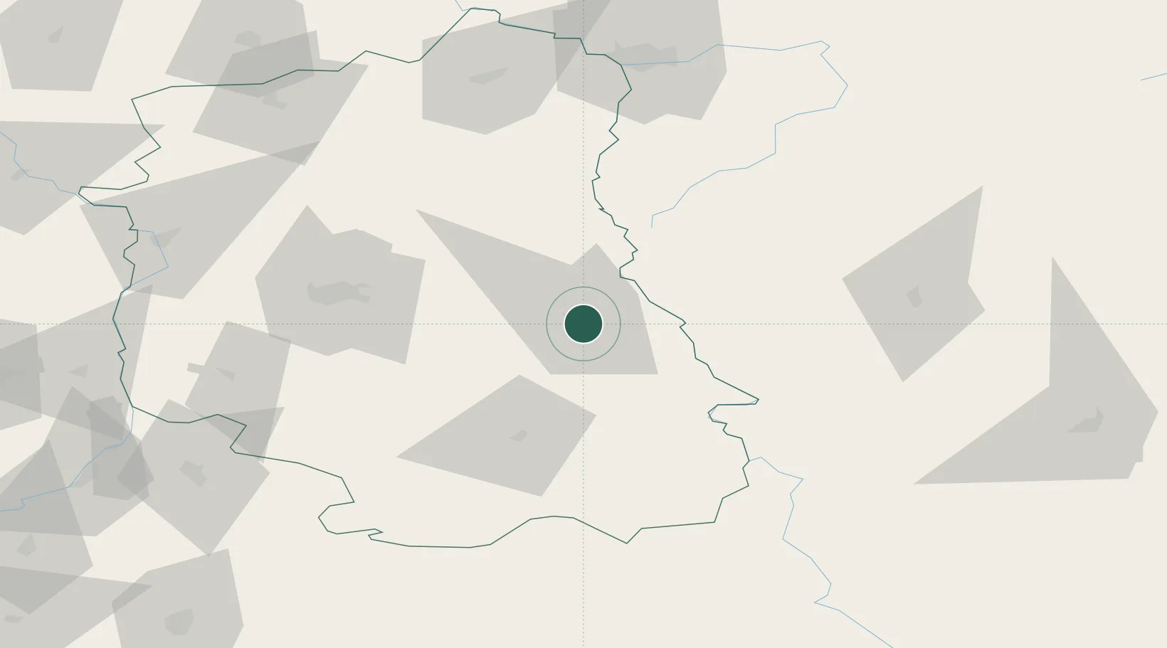
Hub Profile
Place type
Populated place
Region
Lublin
Population
60,231
Time zone
Europe/Warsaw
Elevation
177 m
Location
Nearby Logistics Neighbours
Cities
- 1Teresin20 km
- 2Dorohusk21 km
- 3Nieledew39 km
- 4Hrubieszów47 km
- 5Swidnik51 km
Ports
- 1Kaliningrad445 km
- 2Baltiysk458 km
- 3Gdansk483 km
- 4Nowy Port489 km
- 5Gdynia503 km
Airports
- 1Lublin Airport56 km
- 2Brest International Airport112 km
- 3Deblin Military Air Base121 km
- 4Lviv International Airport150 km
- 5Rzeszów-Jasionka Airport154 km
Trade Zones
DatabookThe Record of Consolidated Knowledge
Poland beyond logistics?