Transport Functions
Rail
Road
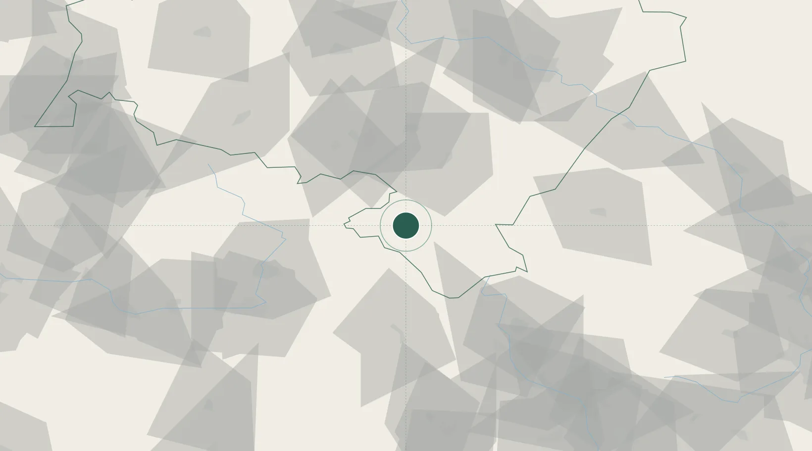
Hub Profile
Place type
Populated place
Region
Lower Silesia
Population
5,234
Time zone
Europe/Warsaw
Elevation
457 m
Location
Nearby Logistics Neighbours
Cities
- 1Polanica-Zdrój4 km
- 2Jaszkowa Dolna16 km
- 3Otovice17 km
- 4Bystrzyca Klodzka18 km
- 5Police nad Metují21 km
Ports
- 1Szczecin359 km
- 2Police374 km
- 3Swinoujscie417 km
- 4Kolobrzeg427 km
- 5Wolgast443 km
Airports
- 1Pardubice Airport68 km
- 2Copernicus Wrocław Airport82 km
- 3Čáslav Air Base94 km
- 4Kostomlaty Airstrip112 km
- 5Přerov Air Base129 km
Trade Zones
DatabookThe Record of Consolidated Knowledge
Poland beyond logistics?