UN/LOCODE hub · Poland
PLBYK
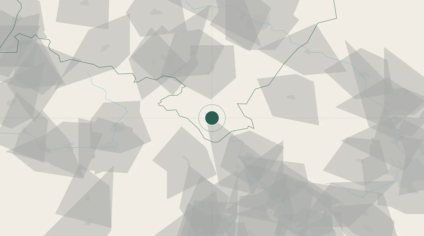
Bystrzyca Klodzka
50.3000°, 16.6500°
10,375
Population
2
Transport functions
Transport Functions
Rail
Road
Hub Profile
Place type
Populated place
Region
Lower Silesia
Population
10,375
Time zone
Europe/Warsaw
Elevation
378 m
Location
Nearby Logistics Neighbours
Cities
- 1Polanica-Zdrój15 km
- 2Jaszkowa Dolna15 km
- 3Miedzylesie17 km
- 4Szczytna18 km
- 5Rokytnice v Orlickych Horach20 km
Ports
- 1Szczecin375 km
- 2Police390 km
- 3Swinoujscie434 km
- 4Kolobrzeg442 km
- 5Darlowo460 km
Airports
- 1Pardubice Airport72 km
- 2Copernicus Wrocław Airport91 km
- 3Čáslav Air Base99 km
- 4Přerov Air Base111 km
- 5Kostomlaty Airstrip123 km
Trade Zones
DatabookThe Record of Consolidated Knowledge
Poland beyond logistics?