UN/LOCODE hub · Czechia
CZPNJ
Police nad Metují
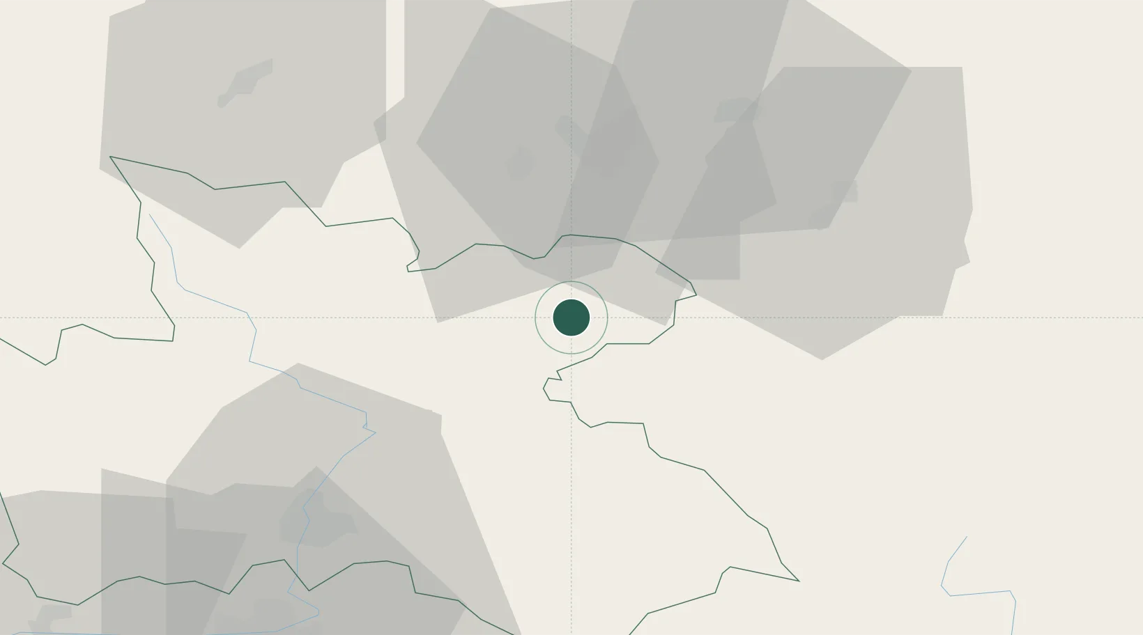
50.5333°, 16.2333°
4,316
Population
3
Transport functions
Transport Functions
Port
Rail
Road
Hub Profile
Place type
Populated place
Region
Královéhradecký kraj
Population
4,316
Time zone
Europe/Prague
Elevation
439 m
Location
Nearby Logistics Neighbours
Cities
- 1Zdar nad Metuji3 km
- 2Ceska Metuje4 km
- 3Mezimestí9 km
- 4Otovice12 km
- 5Malé Svatonovice13 km
Ports
- 1Szczecin341 km
- 2Police356 km
- 3Swinoujscie399 km
- 4Kolobrzeg412 km
- 5Wolgast425 km
Airports
- 1Pardubice Airport68 km
- 2Copernicus Wrocław Airport78 km
- 3Čáslav Air Base90 km
- 4Kostomlaty Airstrip100 km
- 5Prague–Kbely Air Base128 km
Trade Zones
DatabookThe Record of Consolidated Knowledge
Czechia beyond logistics?