Transport Functions
Road
Multimodal
Hub Profile
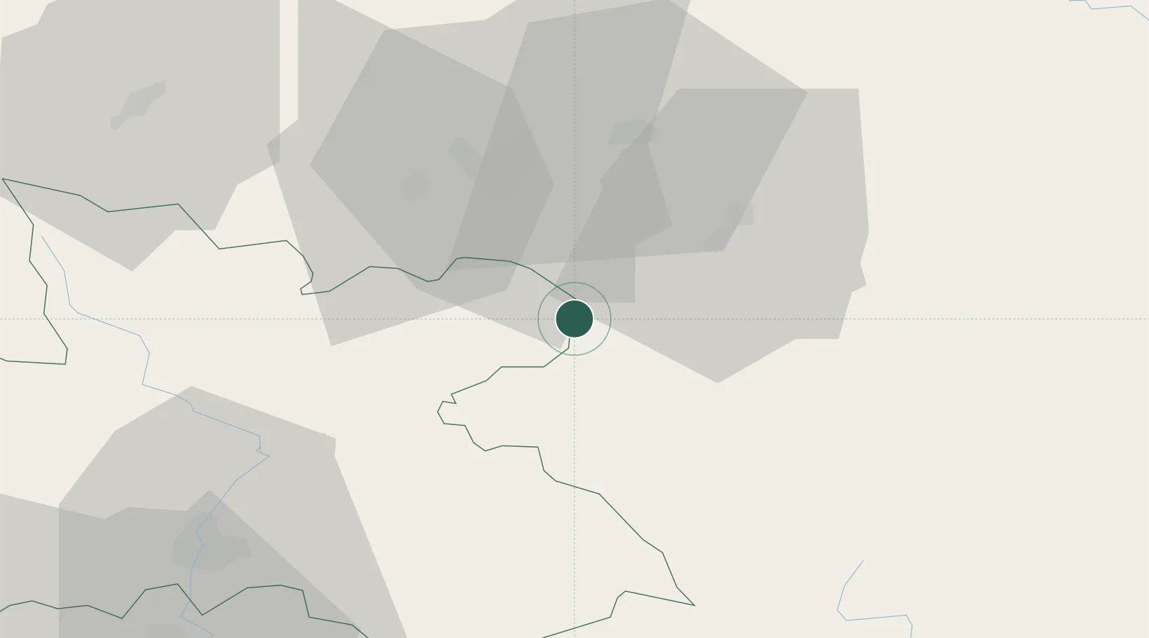
Place type
Populated place
Region
Královéhradecký kraj
Population
394
Time zone
Europe/Prague
Elevation
357 m
Location
Nearby Logistics Neighbours
Cities
- 1Ludwikowice Klodzkie7 km
- 2Mezimestí12 km
- 3Police nad Metují12 km
- 4Zdar nad Metuji14 km
- 5Ceska Metuje15 km
Ports
- 1Szczecin341 km
- 2Police356 km
- 3Swinoujscie400 km
- 4Kolobrzeg410 km
- 5Wolgast426 km
Airports
- 1Copernicus Wrocław Airport69 km
- 2Pardubice Airport77 km
- 3Čáslav Air Base101 km
- 4Kostomlaty Airstrip112 km
- 5Rothenburg/Görlitz Airfield135 km
Trade Zones
DatabookThe Record of Consolidated Knowledge
Czechia beyond logistics?