Transport Functions
Rail
Road
Hub Profile
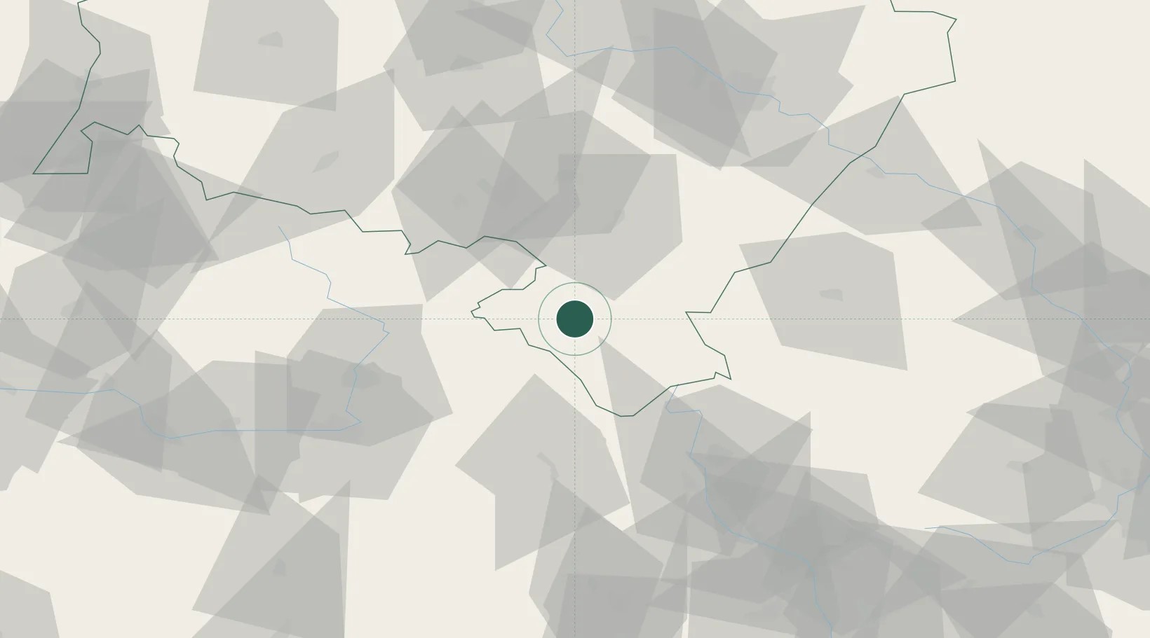
Place type
District seat
Region
Lower Silesia
Population
6,966
Time zone
Europe/Warsaw
Elevation
374 m
Location
Nearby Logistics Neighbours
Cities
- 1Szczytna4 km
- 2Jaszkowa Dolna12 km
- 3Bystrzyca Klodzka15 km
- 4Otovice20 km
- 5Ludwikowice Klodzkie24 km
Ports
- 1Szczecin362 km
- 2Police377 km
- 3Swinoujscie420 km
- 4Kolobrzeg429 km
- 5Wolgast446 km
Airports
- 1Pardubice Airport70 km
- 2Copernicus Wrocław Airport82 km
- 3Čáslav Air Base96 km
- 4Kostomlaty Airstrip115 km
- 5Přerov Air Base126 km
Trade Zones
DatabookThe Record of Consolidated Knowledge
Poland beyond logistics?