Transport Functions
Rail
Road
Hub Profile
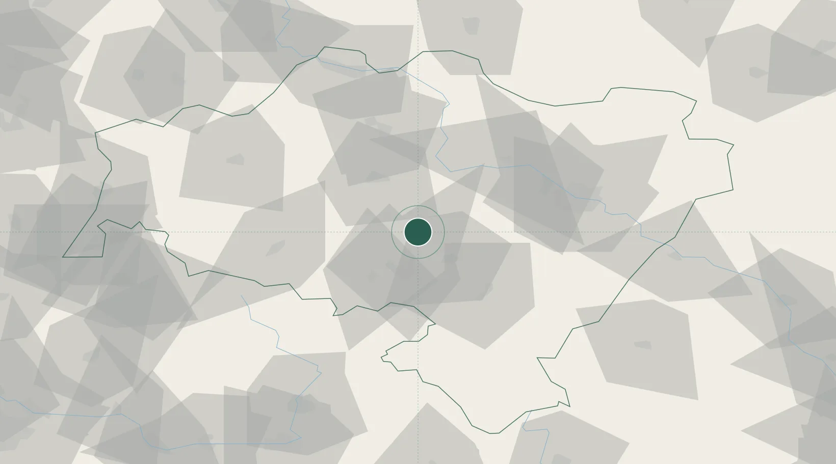
Place type
Populated place
Region
Lower Silesia
Population
16,106
Time zone
Europe/Warsaw
Elevation
229 m
Location
Nearby Logistics Neighbours
Cities
- 1Jaworzyna Slaska10 km
- 2Zarów11 km
- 3Swidnica18 km
- 4Pszenno18 km
- 5Kostomloty21 km
Ports
- 1Szczecin299 km
- 2Police314 km
- 3Swinoujscie357 km
- 4Kolobrzeg365 km
- 5Wolgast384 km
Airports
- 1Copernicus Wrocław Airport40 km
- 2Rothenburg/Görlitz Airfield107 km
- 3Pardubice Airport114 km
- 4Kostomlaty Airstrip131 km
- 5Čáslav Air Base133 km
Trade Zones
DatabookThe Record of Consolidated Knowledge
Poland beyond logistics?