UN/LOCODE hub · Poland
PLJWS
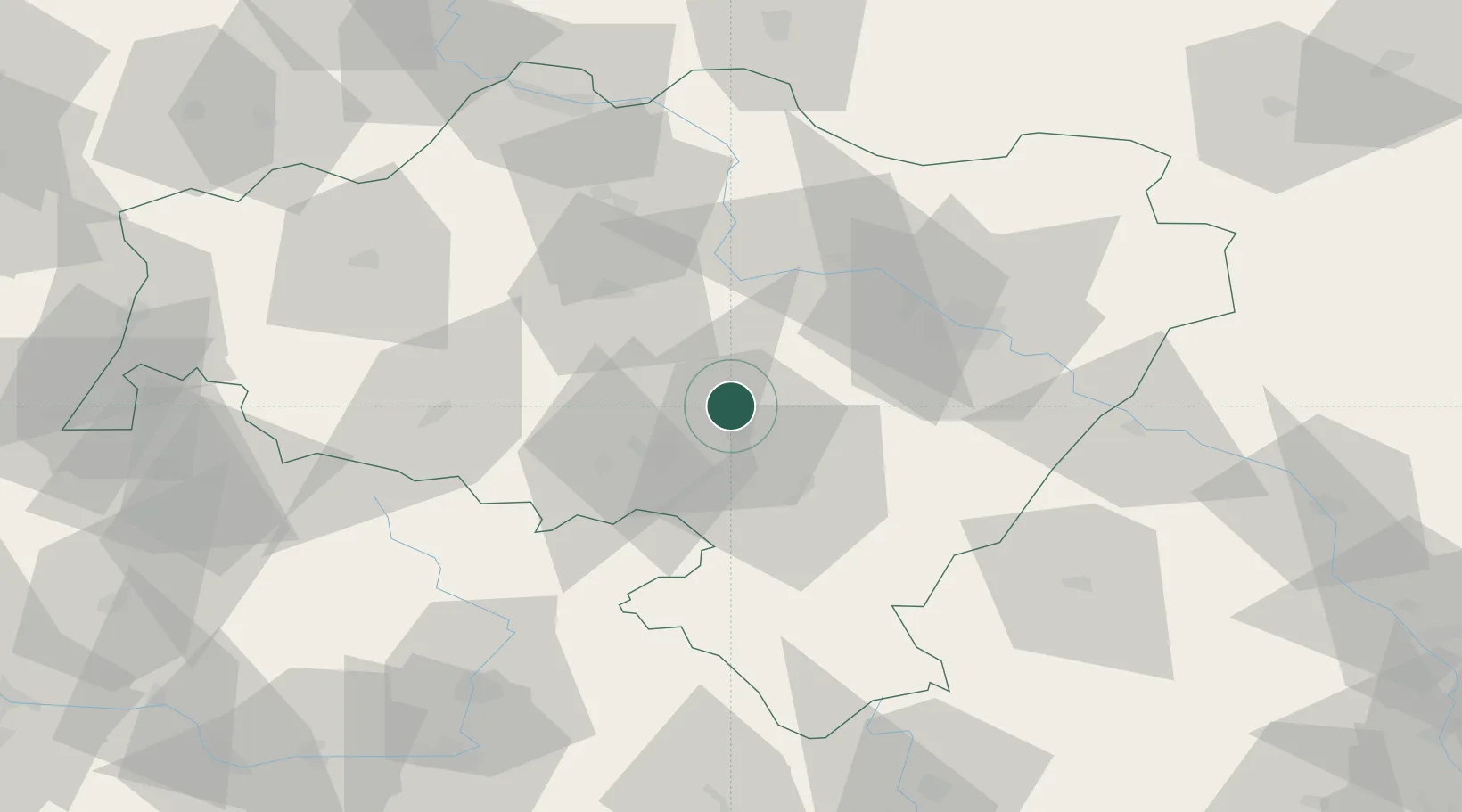
Jaworzyna Slaska
50.9167°, 16.4667°
5,242
Population
2
Transport functions
Transport Functions
Rail
Road
Hub Profile
Place type
Populated place
Region
Lower Silesia
Population
5,242
Time zone
Europe/Warsaw
Elevation
232 m
Location
Nearby Logistics Neighbours
Ports
- 1Szczecin307 km
- 2Police322 km
- 3Swinoujscie365 km
- 4Kolobrzeg372 km
- 5Darlowo391 km
Airports
- 1Copernicus Wrocław Airport36 km
- 2Pardubice Airport113 km
- 3Rothenburg/Görlitz Airfield117 km
- 4Čáslav Air Base133 km
- 5Kostomlaty Airstrip134 km
Trade Zones
DatabookThe Record of Consolidated Knowledge
Poland beyond logistics?