Transport Functions
Rail
Road
Hub Profile
Place type
Provincial seat
Region
Lower Silesia
Population
60,351
Time zone
Europe/Warsaw
Elevation
241 m
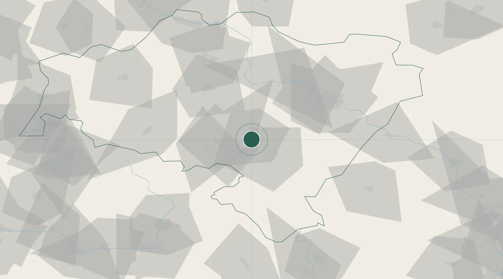
Location
Nearby Logistics Neighbours
Cities
- 1Pszenno6 km
- 2Jaworzyna Slaska9 km
- 3Zarów11 km
- 4Jedlina-Zdrój15 km
- 5Pieszyce15 km
Ports
- 1Szczecin316 km
- 2Police331 km
- 3Swinoujscie374 km
- 4Kolobrzeg382 km
- 5Darlowo400 km
Airports
- 1Copernicus Wrocław Airport41 km
- 2Pardubice Airport105 km
- 3Rothenburg/Görlitz Airfield122 km
- 4Čáslav Air Base126 km
- 5Kostomlaty Airstrip130 km
Trade Zones
DatabookThe Record of Consolidated Knowledge
Poland beyond logistics?