Transport Functions
Port
Road
Hub Profile
Place type
Populated place
Region
Lower Silesia
Time zone
Europe/Warsaw
Elevation
212 m
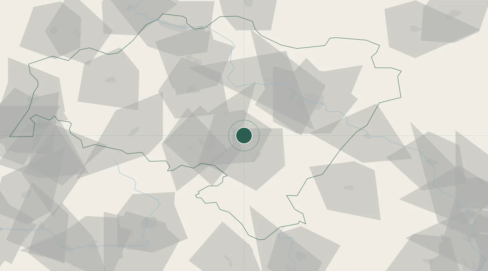
Location
Nearby Logistics Neighbours
Cities
- 1Swidnica6 km
- 2Jaworzyna Slaska8 km
- 3Zarów8 km
- 4Mietków15 km
- 5Dzierzoniów16 km
Ports
- 1Szczecin315 km
- 2Police329 km
- 3Swinoujscie373 km
- 4Kolobrzeg379 km
- 5Darlowo397 km
Airports
- 1Copernicus Wrocław Airport35 km
- 2Pardubice Airport111 km
- 3Rothenburg/Görlitz Airfield125 km
- 4Čáslav Air Base132 km
- 5Kostomlaty Airstrip136 km
Trade Zones
DatabookThe Record of Consolidated Knowledge
Poland beyond logistics?