Transport Functions
Port
Multimodal
Hub Profile
Place type
Populated place
Region
Lower Silesia
Population
830
Time zone
Europe/Warsaw
Elevation
167 m
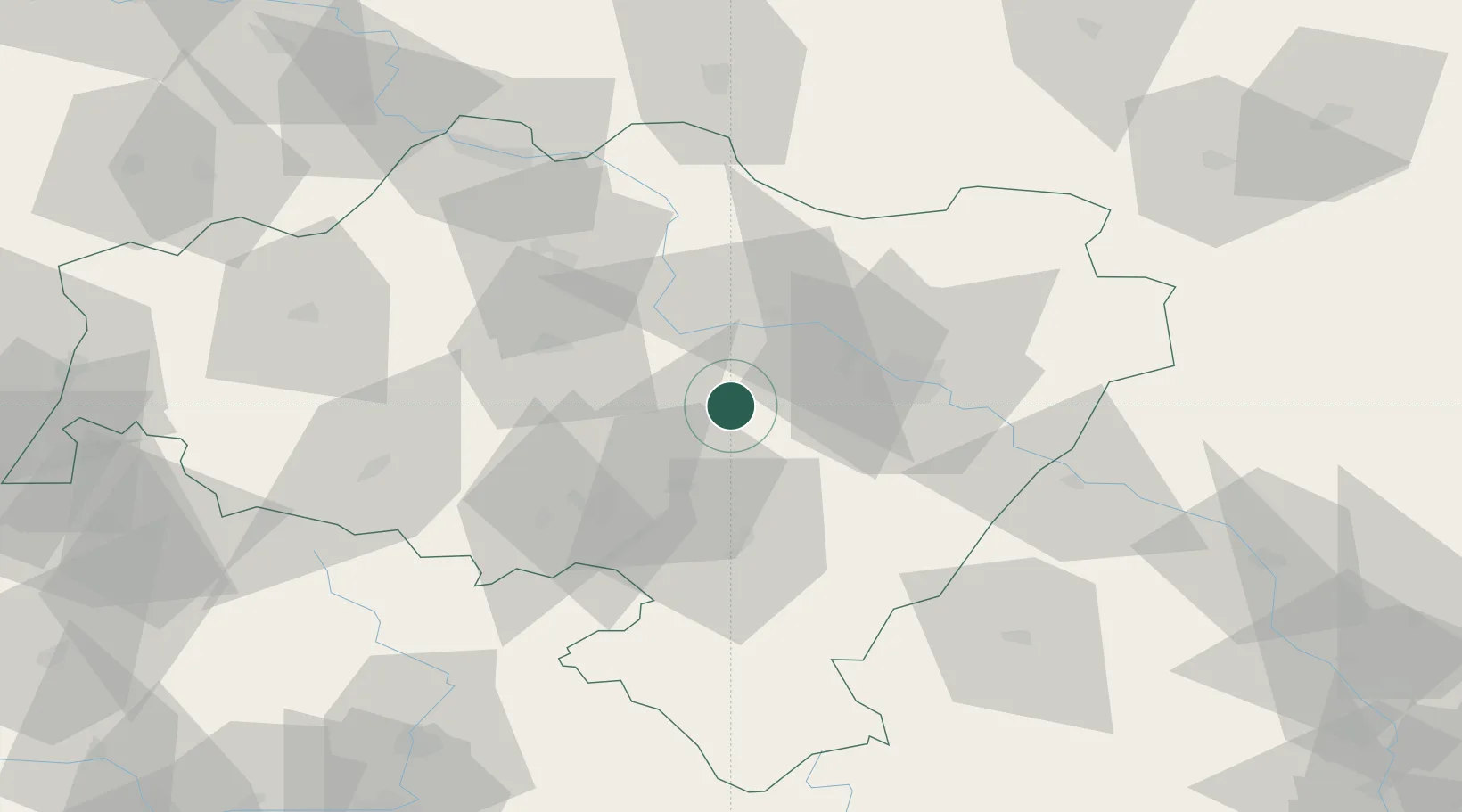
Location
Nearby Logistics Neighbours
Cities
- 1Mietków8 km
- 2Zarów15 km
- 3Jaworzyna Slaska18 km
- 4Strzegom21 km
- 5Pszenno21 km
Ports
- 1Szczecin298 km
- 2Police313 km
- 3Swinoujscie356 km
- 4Kolobrzeg359 km
- 5Darlowo376 km
Airports
- 1Copernicus Wrocław Airport20 km
- 2Rothenburg/Görlitz Airfield121 km
- 3Pardubice Airport131 km
- 4Zielona Góra-Babimost Airport134 km
- 5Krzesiny Military Air Base145 km
Trade Zones
DatabookThe Record of Consolidated Knowledge
Poland beyond logistics?