Transport Functions
Rail
Road
Hub Profile
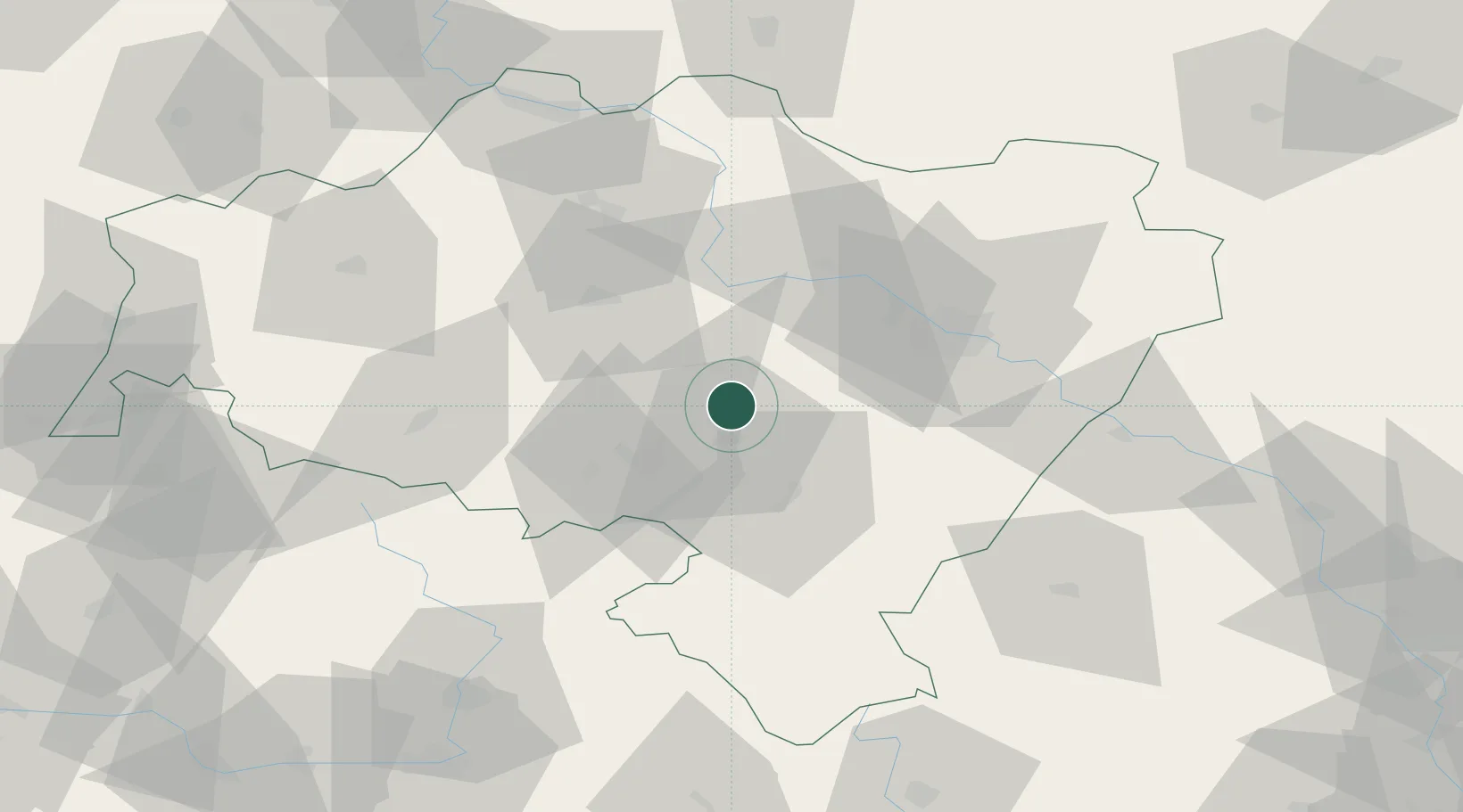
Place type
Populated place
Region
Lower Silesia
Population
6,719
Time zone
Europe/Warsaw
Elevation
205 m
Location
Nearby Logistics Neighbours
Cities
- 1Jaworzyna Slaska3 km
- 2Pszenno8 km
- 3Strzegom11 km
- 4Swidnica11 km
- 5Mietków12 km
Ports
- 1Szczecin307 km
- 2Police321 km
- 3Swinoujscie365 km
- 4Kolobrzeg371 km
- 5Darlowo389 km
Airports
- 1Copernicus Wrocław Airport33 km
- 2Pardubice Airport115 km
- 3Rothenburg/Görlitz Airfield118 km
- 4Čáslav Air Base136 km
- 5Kostomlaty Airstrip137 km
Trade Zones
DatabookThe Record of Consolidated Knowledge
Poland beyond logistics?